HOME RANKINGS CHALLENGES ROUTES NEAR ME PLANNING SEARCH LOGIN
Italy - Lombardia, BG
2026/08/24 12:38:09

Giro del Picchio - Val Seriana - Val Sedornia

0 Downloads
0
 
Share

Key Takeaways / Scheda Tecnica

Disciplina:
Mountain Bike (MTB)
Percorso:
Giro del Picchio - Val Seriana - Val Sedornia
Località:
Italy - Lombardia, BG
Distanza:
18,08 km
Dislivello Positivo:
+620 mt (Quota Min: 648m - Max: 1213m)
Difficoltà Tecnica:
2/5
Valutazione Panorami:
4/5
Formato Traccia:
GPX Download disponibile
Author
Place
Italy - Lombardia, BG
Km
18,08 km
Elapsed time
02:57:28
Vertical meters
+620 mt (648 - 1213)
Route difficulty
Landscapes
Last update
2026/08/25 09:00:54
Comments
0
Description

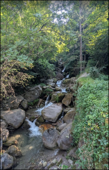
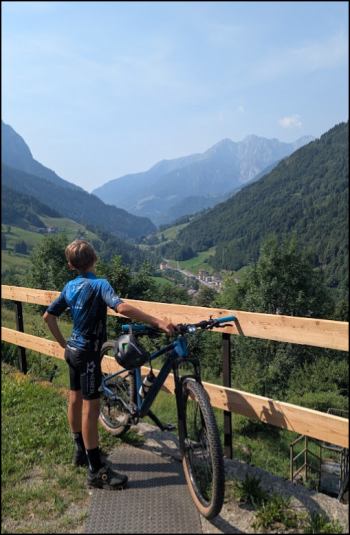
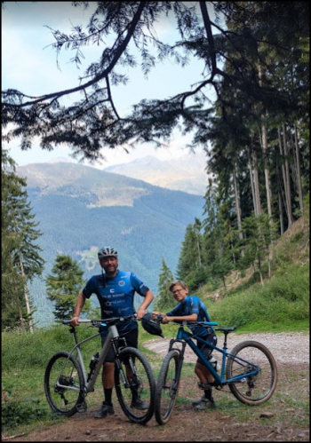
The route starts with an immediate climb; practically all 600 meters are covered right at the beginning. The section with the ascending hairpin turns is on a road, but local drivers are very considerate. Once you enter Val Sedornia, the scenery changes—you’re immediately surrounded by cool, wooded surroundings. The gradients in the first section are quite steep (>15%), but they total only a few hundred meters when added together.

Beautiful views:
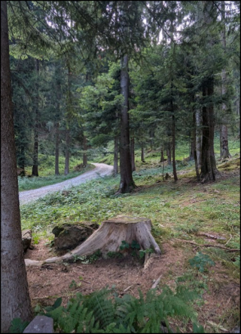
Foto itinerario MTB Giro del Picchio - Val Seriana - Val Sedornia - Italy - Lombardia, BG Foto itinerario MTB Giro del Picchio - Val Seriana - Val Sedornia - Italy - Lombardia, BG

Foto itinerario MTB Giro del Picchio - Val Seriana - Val Sedornia - Italy - Lombardia, BG Foto itinerario MTB Giro del Picchio - Val Seriana - Val Sedornia - Italy - Lombardia, BG

At the stream crossing, there’s a beautiful, covered, fully equipped picnic area; immediately after that, the descent begins (not very technical), which is manageable even with a front-wheel-drive vehicle like mine. Water sources found: before leaving Boario, at the playground just before entering Val Sedornia, and at the picnic area in the middle of the woods (at the tip of the “becco”). In Gandellino, there’s supposed to be a bike path leading to Ardesio, but I couldn’t find it, so I returned via the provincial road.


Difficulty: S1

Download our free mobile app to send this route to your Garmin device or to navigate it on OSM maps. Android - iOS
Local weather
Mar 00:00
11 °C
Mar 12:00
13 °C
Mer 00:00
13 °C
Mer 12:00
15 °C
Gio 00:00
10 °C
Gio 12:00
13 °C
Ven 00:00
9 °C
Ven 12:00
11 °C
Sab 00:00
9 °C
Sab 12:00
10 °C

Graph

Nearest Routes

2025/05/18
- Italy - Lombardia, BG
ValeBG
(181)
25,23 km
Km
+1 900 mt
Vertical meters
Route difficulty
Landscapes
2025/06/22
- Italy - Lombardia, BG
ValeBG
(181)
55,44 km
Km
+3 000 mt
Vertical meters
Route difficulty
Landscapes
2022/10/15
- Italy - Lombardia, BG
ValeBG
(181)
30,98 km
Km
+1 300 mt
Vertical meters
Route difficulty
Landscapes
2025/06/22
- Italy - Lombardia, BG
ValeBG
(181)
49,20 km
Km
+3 300 mt
Vertical meters
Route difficulty
Landscapes
2026/09/21
- Italy - Lombardia, BG
ValeBG
(181)
23,26 km
Km
+1 700 mt
Vertical meters
Route difficulty
Landscapes
2023/07/29
- Italy - Lombardia, BG
ValeBG
(181)
24,14 km
Km
+1 644 mt
Vertical meters
Route difficulty
Landscapes
2026/09/21
- Italy - Lombardia, BG
ValeBG
(181)
21,47 km
Km
+1 700 mt
Vertical meters
Route difficulty
Landscapes
2022/08/05
- Italy - Lombardia, BG
Maxone1
(10)
18,56 km
Km
+1 429 mt
Vertical meters
Route difficulty
Landscapes
2025/11/30
- Italy - Lombardia, BG
ValeBG
(181)
17,03 km
Km
+1 600 mt
Vertical meters
Route difficulty
Landscapes
2023/09/09
- Italy - Lombardia, BG
ValeBG
(181)
34,10 km
Km
+2 000 mt
Vertical meters
Route difficulty
Landscapes

0 Comments