HOME RANKINGS CHALLENGES ROUTES NEAR ME PLANNING SEARCH LOGIN
Italy - Piemonte, TO
2026/08/22 16:58:12

Sentiero Chiantore - Piossasco

0 Downloads
0
 
Share

Key Takeaways / Scheda Tecnica

Disciplina:
Mountain Bike (MTB)
Percorso:
Sentiero Chiantore - Piossasco
Località:
Italy - Piemonte, TO
Distanza:
14,59 km
Dislivello Positivo:
+600 mt (Quota Min: 294m - Max: 846m)
Difficoltà Tecnica:
1/5
Valutazione Panorami:
2/5
Formato Traccia:
GPX Download disponibile
Author
gmzolenart
(137)
Place
Italy - Piemonte, TO
Km
14,59 km
Elapsed time
03:03:45
Vertical meters
+600 mt (294 - 846)
Route difficulty
Landscapes
Last update
2026/08/22 17:52:35
Comments
2
Description

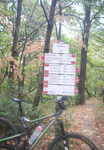
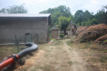
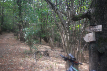
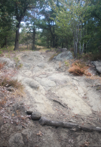
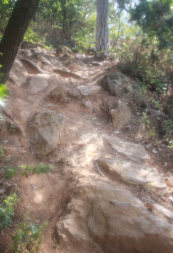
We are in the Monte San Giorgio Park. The route still starts from Piossasco but further west; it’s best to park in the Campetto hamlet in the designated parking lots, as the private roads can often be confusing. After about 2 km on paved road, you’ll reach Ciampetto (431 m), where the dirt road begins—a wide, gentle climb. At Colle di Prè (714 m), turn left and, following a slight series of ups and downs, pass the lower and upper hamlets of Piossasco, the Madonna della Neve Chapel, a brief detour to Prese di Sangano—the Santa Maria Maddalena Chapel, a climb, and the start of the Chiantore trail—about 3 km of mixed terrain, the first part easy, then steep and rocky sections almost to the end.

Start of the dirt road in the Ciampetto area
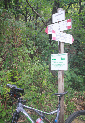
Foto itinerario MTB Sentiero Chiantore - Piossasco - Italy - Piemonte, TO


Foto itinerario MTB Sentiero Chiantore - Piossasco - Italy - Piemonte, TO


Foto itinerario MTB Sentiero Chiantore - Piossasco - Italy - Piemonte, TO


Foto itinerario MTB Sentiero Chiantore - Piossasco - Italy - Piemonte, TO

Second part of the Chiantore Trail
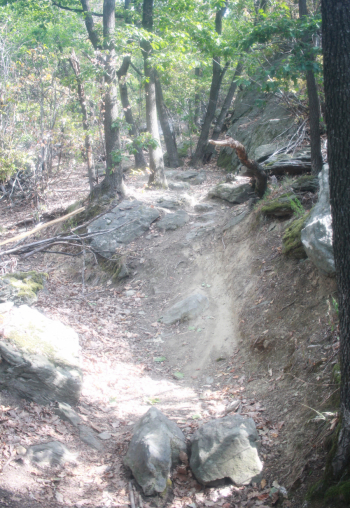
Foto itinerario MTB Sentiero Chiantore - Piossasco - Italy - Piemonte, TO


Foto itinerario MTB Sentiero Chiantore - Piossasco - Italy - Piemonte, TO

Commemorative plaque dedicated to Roberto Mottura, a local mountain biker
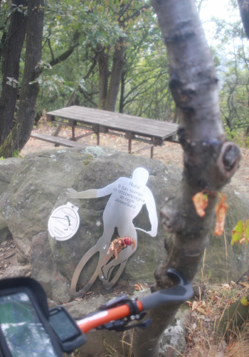
Foto itinerario MTB Sentiero Chiantore - Piossasco - Italy - Piemonte, TO


Foto itinerario MTB Sentiero Chiantore - Piossasco - Italy - Piemonte, TO


Download our free mobile app to send this route to your Garmin device or to navigate it on OSM maps. Android - iOS
Local weather
Mar 00:00
14 °C
Mar 12:00
13 °C
Mer 00:00
15 °C
Mer 12:00
17 °C
Gio 00:00
11 °C
Gio 12:00
14 °C
Ven 00:00
10 °C
Ven 12:00
13 °C
Sab 00:00
9 °C
Sab 12:00
16 °C

Graph

Nearest Routes

2023/10/13
- Italy - Piemonte, TO
gmzolenart
(137)
17,80 km
Km
+700 mt
Vertical meters
Route difficulty
Landscapes
2022/08/11
- Italy - Piemonte, TO
gmzolenart
(137)
25,02 km
Km
+1 009 mt
Vertical meters
Route difficulty
Landscapes
2022/08/12
- Italy - Piemonte, TO
gmzolenart
(137)
22,90 km
Km
+898 mt
Vertical meters
Route difficulty
Landscapes
2023/11/12
- Italy - Piemonte, TO
gmzolenart
(137)
24,82 km
Km
+786 mt
Vertical meters
Route difficulty
Landscapes
2023/11/18
- Italy - Piemonte, TO
gmzolenart
(137)
22,07 km
Km
+600 mt
Vertical meters
Route difficulty
Landscapes
28,99 km
Km
+1 193 mt
Vertical meters
Route difficulty
Landscapes
2024/09/20
- Italy - Piemonte, TO
gmzolenart
(137)
14,93 km
Km
+750 mt
Vertical meters
Route difficulty
Landscapes
2026/09/20
- Italy - Piemonte, TO
gmzolenart
(137)
12,66 km
Km
+650 mt
Vertical meters
Route difficulty
Landscapes
2026/08/26
- Italy - Piemonte, TO
gmzolenart
(137)
21,77 km
Km
+920 mt
Vertical meters
Route difficulty
Landscapes
2022/11/02
- Italy - Piemonte, TO
gmzolenart
(137)
16,29 km
Km
+751 mt
Vertical meters
Route difficulty
Landscapes

2 Comments