HOME RANKINGS CHALLENGES ROUTES NEAR ME PLANNING SEARCH LOGIN
Italy - Piemonte, TO
2026/09/20 17:19:49

Almese - pista tagliafuoco - sentiero delle Guardie

0 Downloads
0
 
Share

Key Takeaways / Scheda Tecnica

Disciplina:
Mountain Bike (MTB)
Percorso:
Almese - pista tagliafuoco - sentiero delle Guardie
Località:
Italy - Piemonte, TO
Distanza:
12,66 km
Dislivello Positivo:
+650 mt (Quota Min: 231m - Max: 819m)
Difficoltà Tecnica:
1/5
Valutazione Panorami:
2/5
Formato Traccia:
GPX Download disponibile
Author
gmzolenart
(137)
Place
Italy - Piemonte, TO
Km
12,66 km
Elapsed time
03:13:27
Vertical meters
+650 mt (231 - 819)
Route difficulty
Landscapes
Last update
2026/09/20 18:52:55
Comments
0
Description

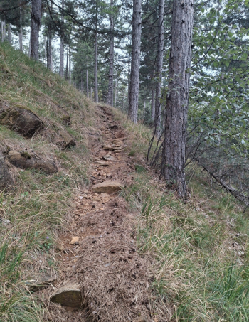
The route starts in Almese and climbs for about 4 km on paved road, then turns onto a wide, clay-based dirt road that follows the firebreak. The “Guards’ Trail,” which runs more or less parallel to the “Alpini Trail,” consists of two sections: an initial 2 km stretch to Borgata Prassero and a 1 km stretch beyond the hamlet. The first section is mostly trail-style riding—narrow, with many roots and loose soil. The gradient isn’t steep, but the hairpin turns are tight. The entire section is in the woods; there are no overhangs. Once inside Borgata, after a gentle descent, follow the blue markings on the rocks and ride alongside a boundary wall on a smooth trail free of roots. The section of the rangers’ trail near the Pis Gorge up to Fucinassa is again partly trail-style, especially the section descending to the waterfall marked on the map. The Messa Stream had eroded the Malatrait moraine, a deposit dating back to the last ice age over 10,000 years ago. The reddish color is due to the oxidation of iron concentrated in the rocks of the valley, from which it was mined as early as the 16th century. The route continues on asphalt to Almese. This low-altitude route should be avoided in summer.

Votive shrine at the start of the ascent
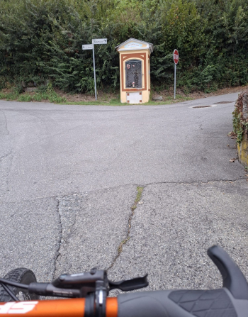
Foto itinerario MTB Almese - pista tagliafuoco - sentiero delle Guardie - Italy - Piemonte, TO


Foto itinerario MTB Almese - pista tagliafuoco - sentiero delle Guardie - Italy - Piemonte, TO


Foto itinerario MTB Almese - pista tagliafuoco - sentiero delle Guardie - Italy - Piemonte, TO

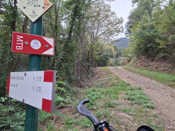
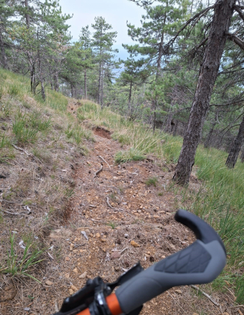
Start of the rangers’ trail

Foto itinerario MTB Almese - pista tagliafuoco - sentiero delle Guardie - Italy - Piemonte, TO

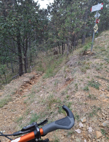
Loose terrain and a sharp bend

Foto itinerario MTB Almese - pista tagliafuoco - sentiero delle Guardie - Italy - Piemonte, TO

Tree roots

Foto itinerario MTB Almese - pista tagliafuoco - sentiero delle Guardie - Italy - Piemonte, TO

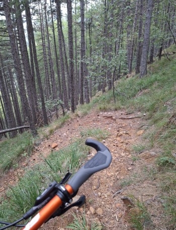
Loose terrain

Foto itinerario MTB Almese - pista tagliafuoco - sentiero delle Guardie - Italy - Piemonte, TO

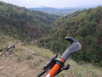
Pis Gorge

Foto itinerario MTB Almese - pista tagliafuoco - sentiero delle Guardie - Italy - Piemonte, TO

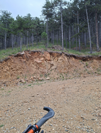
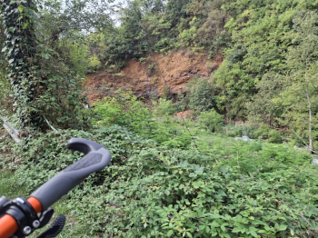
Malatrait Moraine

Foto itinerario MTB Almese - pista tagliafuoco - sentiero delle Guardie - Italy - Piemonte, TO


Download our free mobile app to send this route to your Garmin device or to navigate it on OSM maps. Android - iOS
Local weather
Mar 00:00
13 °C
Mar 12:00
13 °C
Mer 00:00
13 °C
Mer 12:00
16 °C
Gio 00:00
10 °C
Gio 12:00
14 °C
Ven 00:00
10 °C
Ven 12:00
12 °C
Sab 00:00
9 °C
Sab 12:00
15 °C

Graph

Nearest Routes

2026/08/26
- Italy - Piemonte, TO
gmzolenart
(137)
21,77 km
Km
+920 mt
Vertical meters
Route difficulty
Landscapes
2022/11/02
- Italy - Piemonte, TO
gmzolenart
(137)
16,29 km
Km
+751 mt
Vertical meters
Route difficulty
Landscapes
2022/08/12
- Italy - Piemonte, TO
gmzolenart
(137)
22,90 km
Km
+898 mt
Vertical meters
Route difficulty
Landscapes
2022/11/03
- Italy - Piemonte, TO
gmzolenart
(137)
22,02 km
Km
+897 mt
Vertical meters
Route difficulty
Landscapes
2022/08/11
- Italy - Piemonte, TO
gmzolenart
(137)
25,02 km
Km
+1 009 mt
Vertical meters
Route difficulty
Landscapes
2022/11/04
- Italy - Piemonte, TO
gmzolenart
(137)
15,96 km
Km
+718 mt
Vertical meters
Route difficulty
Landscapes
2022/10/05
- Italy - Piemonte, TO
gmzolenart
(137)
23,24 km
Km
+1 105 mt
Vertical meters
Route difficulty
Landscapes
2024/10/12
- Italy - Piemonte, TO
gmzolenart
(137)
26,51 km
Km
+1 080 mt
Vertical meters
Route difficulty
Landscapes
2023/11/18
- Italy - Piemonte, TO
gmzolenart
(137)
22,07 km
Km
+600 mt
Vertical meters
Route difficulty
Landscapes
28,99 km
Km
+1 193 mt
Vertical meters
Route difficulty
Landscapes

0 Comments