HOME RANKINGS CHALLENGES ROUTES NEAR ME PLANNING SEARCH LOGIN
Italy - Piemonte, TO
2026/08/26 19:33:59

Almese - pista tagliafuoco - sentiero degli alpini

1 Downloads
0
 
Share

Key Takeaways / Scheda Tecnica

Disciplina:
Mountain Bike (MTB)
Percorso:
Almese - pista tagliafuoco - sentiero degli alpini
Località:
Italy - Piemonte, TO
Distanza:
21,77 km
Dislivello Positivo:
+920 mt (Quota Min: 362m - Max: 1169m)
Difficoltà Tecnica:
1/5
Valutazione Panorami:
2/5
Formato Traccia:
GPX Download disponibile
Author
gmzolenart
(137)
Place
Italy - Piemonte, TO
Km
21,77 km
Elapsed time
04:31:36
Vertical meters
+920 mt (362 - 1169)
Route difficulty
Landscapes
Last update
2026/08/27 09:14:49
Comments
0
Description

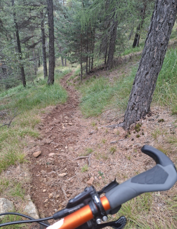
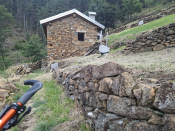
The route starts in Almese and climbs for about 4 km on paved road, then turns onto a wide dirt firebreak trail, which is in much better condition than it was many years ago. There’s a brief detour to the Pilone della Costa, and then the climb continues. The central section before the Alpini Trail is uneven in places, with cracks and rocks, followed by another short detour to the Sanctuary of Madonna della Bassa. Return to the “Sentiero degli Alpini,” a narrow trail that runs for 3 km entirely through the woods; the first section is somewhat rutted but then becomes very smooth, with dirt, few rocks, and long straight stretches. From the hamlet of Acquarossa to Prassero, the route is paved; then a section of the forest rangers’ trail near the Goja del Pis up to Fucinassa. The Messa Stream was used to power the area’s artisanal activities until the 1950s, foremost among them the Fucinassa forge. The route continues on paved road to Almese. A low-altitude route best avoided in summer; this morning it was cool but later got quite warm.

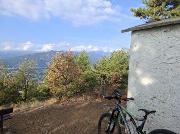
Start of the firebreak trail
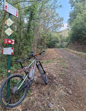
Foto itinerario MTB Almese - pista tagliafuoco - sentiero degli alpini - Italy - Piemonte, TO

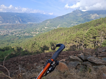
Pilone della Costa

Foto itinerario MTB Almese - pista tagliafuoco - sentiero degli alpini - Italy - Piemonte, TO


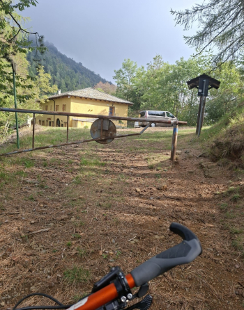
Foto itinerario MTB Almese - pista tagliafuoco - sentiero degli alpini - Italy - Piemonte, TO

Sanctuary of Madonna della Bassa

Foto itinerario MTB Almese - pista tagliafuoco - sentiero degli alpini - Italy - Piemonte, TO

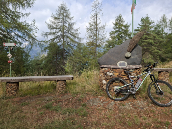
Start of the Alpini Trail

Foto itinerario MTB Almese - pista tagliafuoco - sentiero degli alpini - Italy - Piemonte, TO

Section of the Alpini Trail

Foto itinerario MTB Almese - pista tagliafuoco - sentiero degli alpini - Italy - Piemonte, TO

Mountain hut under construction

Foto itinerario MTB Almese - pista tagliafuoco - sentiero degli alpini - Italy - Piemonte, TO

One of the votive chapels near the inhabited hamlets; this one is in Acquarossa
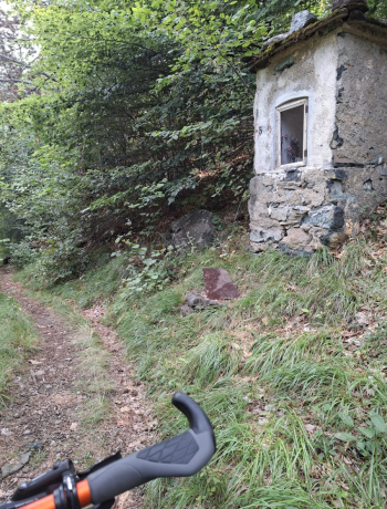
Foto itinerario MTB Almese - pista tagliafuoco - sentiero degli alpini - Italy - Piemonte, TO

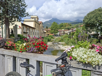
Almese

Foto itinerario MTB Almese - pista tagliafuoco - sentiero degli alpini - Italy - Piemonte, TO


Download our free mobile app to send this route to your Garmin device or to navigate it on OSM maps. Android - iOS
Local weather
Tue 00:00
13 °C
Tue 12:00
13 °C
Wed 00:00
13 °C
Wed 12:00
17 °C
Thu 00:00
12 °C
Thu 12:00
14 °C
Fri 00:00
10 °C
Fri 12:00
12 °C
Sat 00:00
9 °C
Sat 12:00
15 °C

Graph

Nearest Routes

2026/09/20
- Italy - Piemonte, TO
gmzolenart
(137)
12,66 km
Km
+650 mt
Vertical meters
Route difficulty
Landscapes
2022/11/02
- Italy - Piemonte, TO
gmzolenart
(137)
16,29 km
Km
+751 mt
Vertical meters
Route difficulty
Landscapes
2022/08/12
- Italy - Piemonte, TO
gmzolenart
(137)
22,90 km
Km
+898 mt
Vertical meters
Route difficulty
Landscapes
2022/11/03
- Italy - Piemonte, TO
gmzolenart
(137)
22,02 km
Km
+897 mt
Vertical meters
Route difficulty
Landscapes
2022/08/11
- Italy - Piemonte, TO
gmzolenart
(137)
25,02 km
Km
+1 009 mt
Vertical meters
Route difficulty
Landscapes
2022/11/04
- Italy - Piemonte, TO
gmzolenart
(137)
15,96 km
Km
+718 mt
Vertical meters
Route difficulty
Landscapes
2022/10/05
- Italy - Piemonte, TO
gmzolenart
(137)
23,24 km
Km
+1 105 mt
Vertical meters
Route difficulty
Landscapes
2024/10/12
- Italy - Piemonte, TO
gmzolenart
(137)
26,51 km
Km
+1 080 mt
Vertical meters
Route difficulty
Landscapes
2023/11/18
- Italy - Piemonte, TO
gmzolenart
(137)
22,07 km
Km
+600 mt
Vertical meters
Route difficulty
Landscapes
28,99 km
Km
+1 193 mt
Vertical meters
Route difficulty
Landscapes

0 Comments