

 Italiano
 Deutsch
2026/07/21 11:43:59
Bardonecchia - colle della Rho - Le Lavoir - colle di valle Stretta
Author

Place
Italy - Piemonte, TO
Km
38,64 km
Elapsed time
06:41:24
Vertical meters
+1 850 mt (1282 - 2562)
Route difficulty
Landscapes
Last update
2026/07/21 11:45:28
Comments
Description
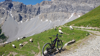
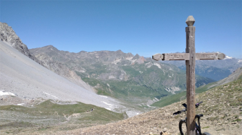
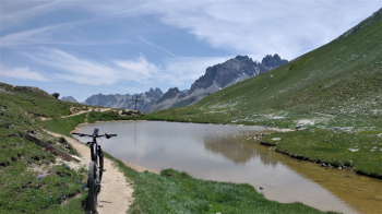
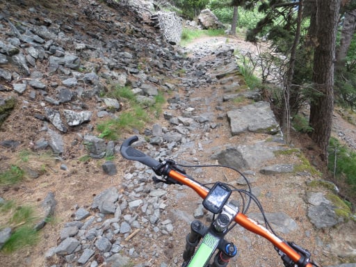
Variant "E" of the well-known route, which involves, after the long climb to the Col de la Rho, descending to Le Lavoir and then climbing back up a dirt road—which is impassable for a traditional MTB due to the steep gradient—thus avoiding the need to push or carry your bike up to the Col de la Replanette, which is advisable if you don’t have an e-MTB. The descent is roughly the classic one, of moderate difficulty—approximately S2—with the exception of about 40 meters of elevation loss from 2,100 meters, which should be considered unrideable or, at any rate, extremely challenging. After that, the trails remain easy to avoid the extremely busy Stretta Valley road as much as possible.
Local weather
Mar 00:00

10 °C
Mar 12:00

10 °C
Mer 00:00
9 °C
Mer 12:00

12 °C
Gio 00:00
4 °C
Gio 12:00
10 °C


Graph
Nearest Routes
53,81 km
Km
+2 000 mt
Vertical meters
Route difficulty
Landscapes

29,52 km
Km
+1 500 mt
Vertical meters
Route difficulty
Landscapes
34,20 km
Km
+1 300 mt
Vertical meters
Route difficulty
Landscapes
23,59 km
Km
+964 mt
Vertical meters
Route difficulty
Landscapes
43,32 km
Km
+2 700 mt
Vertical meters
Route difficulty
Landscapes
2023/07/31
- Italy - Piemonte, TO 50,21 km
Km
+3 250 mt
Vertical meters
Route difficulty
Landscapes

57,35 km
Km
+3 600 mt
Vertical meters
Route difficulty
Landscapes

43,94 km
Km
+1 783 mt
Vertical meters
Route difficulty
Landscapes

26,86 km
Km
+1 560 mt
Vertical meters
Route difficulty
Landscapes
35,69 km
Km
+1 428 mt
Vertical meters
Route difficulty
Landscapes