Italiano
 Deutsch
Sant'Amate con discesa alpe di Varoò

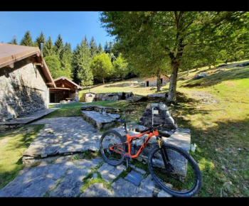
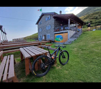
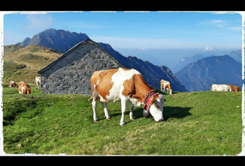
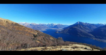
It starts from San Siro (convenient parking on the state highway in front of the beautiful village church. Here the trail starts from Pianello del Lario, but only because I live there (the route is from Danicana). Long asphalt climb up to an elevation of 1200,following the road to the mountains (Gallio,Montuglio). At this point a dirt road starts, at times tough both as a bottom and as slopes, up to an elevation of 1650 meters. At the top we do not descend to the small church of S.amate on the left (photo with the cows ), but continue at altitude on the roadway to the Nesdale alp. A beautiful view of Lake Lugano opens up.
Once at the alp follow the trail faithfully because there is no real path. It is a nosedive into the grasslands in a SW direction and takes us to the entrance of a forest, where blue signs on tree trunks signal a fairly stechnical but gudable path that causes us to lose a fair amount of elevation gain. Be careful because we cross a wooden sign that suddenly leads us to turn left toward Cascine di Varoò. From there follow the gpx track in the meadow that makes us intercept the 4 Valleys trail (nicknamed Nurburgring, and there is a reason why). The trail has unfortunately been ruined by recent rains, difficulty S2.
A really nice single track starts with some non-trivial initial eats and drinks and then we throw ourselves in the direction of Plesio along part of the Val Sanagra. A short, but tough, uphill cemented track takes us onto a driveway to reach the first mountains of Plesio. From here the track leads to Breglia with a return to Carcente (just above San Siro) otherwise there are many alternatives that can take us to the Menaggio area via various mule tracks and trails, see this track and the adjacent ones..