Italiano
 Deutsch
Monte Bregagno con discesa dal Dosso S.Bernardo
This mountain offers incredible views of #lakecomo—as everyone knows—but this descent in particular provides some unforgettable vistas. Even when I skied down it, I wondered if it was also rideable on a mountain bike, so I decided to check it out, and the answer is a resounding yes—provided you have the technical skills to fully enjoy the ride, though you should expect a few very short sections where you’ll have to walk.
Start from Dongo and take secondary roads to reach first Musso and then Pianello del Lario (I recommend parking in one of these two towns because it’s easier to find free parking). From Camlago, take a nice trail that leads to Cremia, where a small road with steady gradients climbs up to the La Canua Mountain Hut. I recommend stopping for cake and coffee with a lake view. From here, a scenic trail with fantastic views leads to the Rescascìa mountain pasture and from there, shortly after, to the S. Amate pass. From here, you carry or push your bike first to Bregagnino and then, with a few snacks and drinks and a couple of symbolic pedal strokes, you’re at the summit.
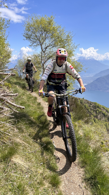
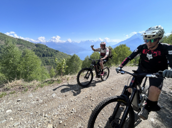
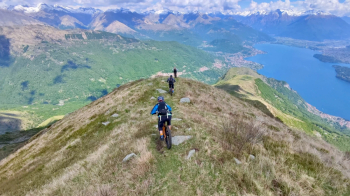
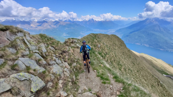
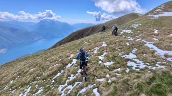
Ready, set, go—and we’re already stopped! A short section through loose rocks is best tackled on foot (very brief), followed by an exposed but easy traverse, and we’re on the ridge. The first sections are technical and uneven, then more stable but still demanding, leading up to a short drop of a few meters where you’ll need to carry your bike; difficulty S3 with an S4 section. When the ridge widens and the slope eases, you can ride fast to San Bernardo, a small church situated—needless to say—on a balcony with a view.
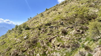
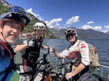
From here, there are several options: one would be to continue along the ridge, climbing briefly to Sasso di Musso, though rumors suggest an S5 section; another descends westward into the valley toward Garzeno. The route we choose heads decisively south to follow trails that occasionally cross small roads. This section is also a lot of fun, although the lack of traffic and the unmarked trails mean you need a bit of intuition and have to check the GPS often. The final stretch takes you down a series of steps to the lake.