Italiano
 Deutsch
Tomülpass

Round trip exploring two beautiful Graubünden valleys: the Safiental and Valsertal, joined by an Alpine pass, the Tomülpass. Lots of asphalt, after all, there is no other way in and out of these steep valleys. Possibly doable with a gravel, if you leave off the cuts in the dirt road down to Vals and put program some pushing on the steep sections before the pass and on the trail after the Tomül hut.
Starting in Ilanz, follow the Rhine valley to Versam through bucolic villages on a road with little traffic. Shortly thereafter we turn right, where we begin the long climb to the end of the Safien valley. The road is not steep, there is very little traffic, and we have to go through a few tunnels including one 1.7km long, where we can fortunately use the wide sidewalk. I still recommend bringing a back light. The higher we climb, the more beautiful the environment becomes.
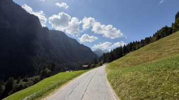
Occasionally the road flattens out and then climbs. We thus arrive at the little village that gives the valley its name, Safien, and continue on. If you are hungry, I suggest that you do not spoil your appetite until you reach an altitude of 1700 meters to enjoy a good lunch at Gasthaus Turahus. I recommend the Fitnessteller with the pork chop. This is the best I have ever eaten, and I am not just saying that because I was hungry. From the garden you can admire the surrounding panorama.
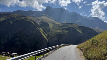
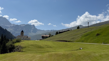
The restart is a rather steep one, although the official trail uses the cemented road that starts at the reservoir.
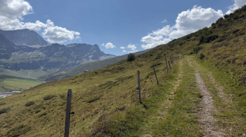
On this we enter at an altitude of 1900.
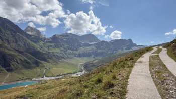
The concrete gives way to a newly resurfaced cartroad, which climbs with steep sections right up to the Tomül pass.
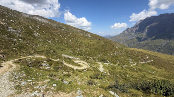
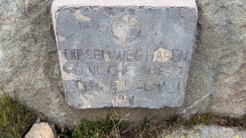
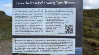
At the pass I discover that this is a road built in 1941 by Polish refugees/prisoners and that it has been renovated in recent years up to the Tomül hut, located at an altitude of 2100 meters. This means that the first 300 meters of the descent is on this road. Boring, despite the beautiful surroundings.
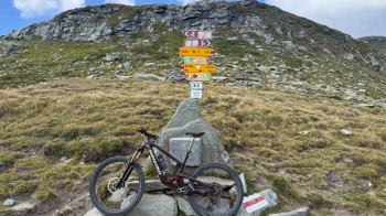
From Malga Tomül the music changes and we are on a beautiful trail that follows the valley downhill.
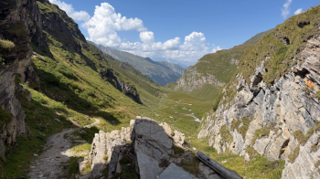
I would describe the difficulty as an S2, at least until it intersects the narrow road down to Vals. Then we follow the trail that cuts across the road and has some more difficult passages, I would say S3, with lots of bends through the woods. A real gem.
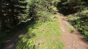
The descent on trail ends in Vals, where the mineral water of the same name comes from, at 1250 meters above sea level. From here to ILanz it is 20 km on the paved road, mostly downhill.