
 Italiano
 Deutsch
Lago di cima Pomodoro e bocchetta di Stazzona


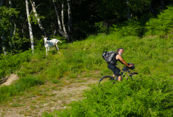
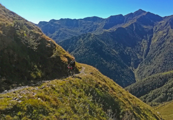
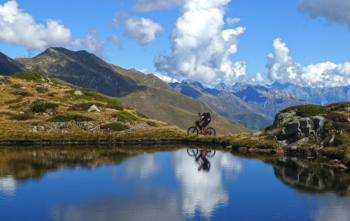
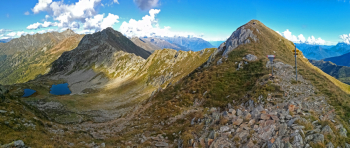
 Departure from Domaso, from Gravedona ascent to Brenzio, Stazzona, then the ridge of La Costa, to reach, at Bocchetta di S. Anna, meters 1206, the paved road that climbs from Dongo to the Giovo and S. Iorio passes. Once at Giovo, continue on the left flank of the Albano Valley, along the old military road. When you reach below the Pomodoro summit traffic circle, climb to the right for 25/30 meters of elevation gain to reach the small lake. Return by the same road to Giovo, then climb to Passo S. Iorio; at the hairpin bend to the left, just below the S. Iorio hut, take the path to the right to the Pozzolo Avert huts. The trail continues in bad shape going around the Marmontana peak (best to leave the bike at the Avert) to Bocchetta di Stazzona at 2122 meters on the Sizzera border (for the Swiss Bocchetta di Lago, we are in the Grisons, the Ticino-Grisons border is right at S. Iorio). In front is Mater di Torresella and below, on the Swiss side.Roggio lakes.
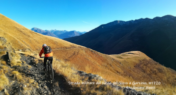
Return by the same trail, descent to Giovo, then military road of the Cadorna line via Brenzeglio, Quansc, Garzeno, Germasino, Dongo, Domaso.
