Monte Massone
Beautiful tour just above Omegna that also runs in short part along the Cadorna line. Nice tour to do even after a rainy day, Never boring as the descents offer a bit of everything from technical to fast but never too much flow. Within everyone's reach as the descent of the mountain retraces the same trail as the ascent. So it's up to you whether or not to do the 600-meter shoulder climb that divides the alpe Cortevecchio refuge from the cross of Mt. Massone, in case you don't want to do the cyclo-mountaineering part follow this trail
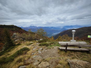
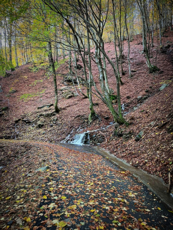
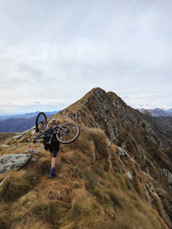
Start from the parking lot of the Sanctuary of Madonna del Boden, we continue always on asphalt on a road immersed in the woods on a road closed to traffic until the refuge, the climb is very comfortable and constant except for the last 200 meters much steeper. During the climb I encountered a couple of water points. It had rained quite a bit the day before and although there was a lot of water coming down on the side of the road, the downhill trails were all nice and dry. From the hut we continued on a short pedalable trail and then bike salla (or push for those who were on Emtb) up single track to the Massone vent.
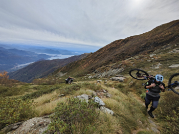
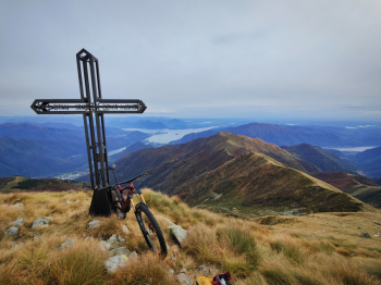
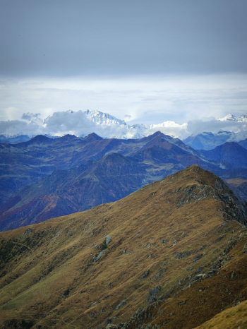
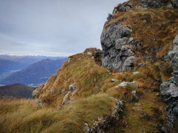
From the bocchetta the trail becomes a bit more comfortable, and climbs up to the Massone cross, for those who want to follow the track you detour 50 meters below a secondary cross from which you can enjoy perhaps even more beautiful views. It continues on a hinted but never extreme track and then passes through the old trenches of the Cadorna line and finally reaches the summit of Mount Massone. From here top 360° views of the lakes and the beautifully whitewashed Monte Rosa.
Descent from the cross
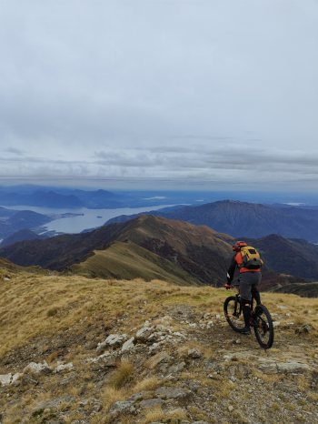
Return from the ascent path to the nozzle on not too technical trail, or (alternative not recommended) it would be possible to descend from the south ridge with several S4/S5 steps and then return to the nozzle by boring all-push path (about 20mins). From the vent begins a spectacular descent (for those who like the genre), all a nice well maintained single track with good grip rock with numerous technical S3+ passages, never extreme and never too exposed.
Descent from the hut
After visiting the viewpoint, we follow the track first on fast and nice S2 trail. Then after 50 meters on road we deviate on the vertical kilometer (which is actually not too vertical). The first half is a medium S2 with a few S3 passages. The second half is more technical a nice medium S3 with some S4 passes especially towards the end. If you want after the first descent you can divert to the Cadorna line trail (northernmost trail) which should be an easy S2. Ride definitely worth marking in the top of rides to do up non-extreme elevations.
Trail style: cyclo-mountaineering / Enduro
Personal Rating: Scenery 9/10; Descents 10/10
Cyclodist: Medium
MTB: Yes
EMTB: Yes up to the refuge, then to the cross depends on whether you like to push
Elevation gain: 1700
Duration 7h by mtb
Portage: 600m
Difficulty ascent: some sections quite steep but it is done
Difficulty descent: from the cross 600m S3+, lower common part 500m S2 / 500m S3+
Exposed: Nothing particularly exposed
Drainage: Yes
Water points: 2 water points during the ascent
Video by Alexgravina


 Italiano
 Deutsch