
 Italiano
 Deutsch
2023/06/06 10:59:11
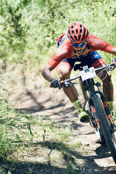
Piana di Vigezzo 2x
Author
Place
Italy - Piemonte, VB
Km
38,03 km
Elapsed time
06:02:46
Vertical meters
+1 984 mt (749 - 1707)
Route difficulty
Landscapes
Last update
2023/06/07 07:19:38
Comments
Hotels
Description
First jeepable ascent to Colma di Craveggia (M29), climb of about 8 km with 900 meters of elevation gain, via single track to Piana di Vigezzo. Descent along one of the Piana di Vigezzo bike park trails (I opted for the Montenero). New ascent towards Piana di vigezzo (M25), on a climb similar to the previous one, always on jeepable ground.
Lunch at the refuge and descent on one of the other DH/Enduro trails (trail M27).
Local weather
Wed 00:00

20 °C
Wed 12:00

28 °C
Thu 00:00
17 °C
Thu 12:00
27 °C
Fri 00:00

20 °C
Fri 12:00
24 °C

Graph
Nearest Routes
22,47 km
Km
+1 100 mt
Vertical meters
Route difficulty
Landscapes
26,45 km
Km
+1 260 mt
Vertical meters
Route difficulty
Landscapes
17,46 km
Km
+1 300 mt
Vertical meters
Route difficulty
Landscapes
21,41 km
Km
+1 700 mt
Vertical meters
Route difficulty
Landscapes
38,90 km
Km
+1 203 mt
Vertical meters
Route difficulty
Landscapes
43,05 km
Km
+2 604 mt
Vertical meters
Route difficulty
Landscapes
23,72 km
Km
+1 002 mt
Vertical meters
Route difficulty
Landscapes
26,57 km
Km
+1 550 mt
Vertical meters
Route difficulty
Landscapes
30,70 km
Km
+1 410 mt
Vertical meters
Route difficulty
Landscapes
31,38 km
Km
+1 461 mt
Vertical meters
Route difficulty
Landscapes