2024/09/04 20:59:18
Giogo di Montechiesa
Author
Place
Italy - Trentino-Alto Adige/Südtirol, BZ
Km
31,65 km
Elapsed time
04:37:57
Vertical meters
+1 900 mt (1233 - 2743)
Route difficulty
Landscapes
Last update
2024/09/04 22:04:31
Comments
Description
Giogo di Montechiesa, a challenging but highly satisfying route at the bottom of Val d'Ultimo, right on the border with Trentino.

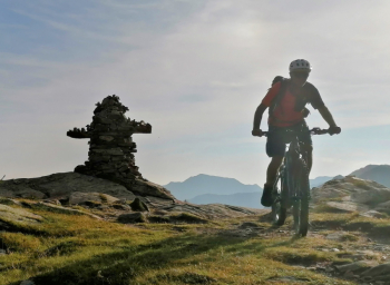
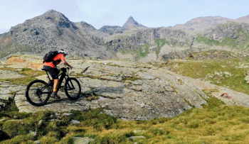
It is a very varied tour, where you encounter everything. Very challenging climbs, push sections to get to the yoke at 2760 meters, wild passages on rock and meadow at Rabbi Pass.

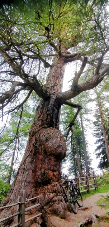
Fantastic descent on scree with a view of the high lakes and then trails of all kinds and with all possible bottoms, lakes of all colors, waterfalls, the famous thousand-year-old larches, alpine huts, farms with characteristic larch tile roofs, horses in the wild, curious marmots and cows that won't budge from the paths!

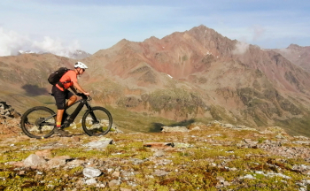
All dominated by the high peaks, over 3500 meters, in gray and red.
Fun and spectacle assured!

Local weather
Today

18 °C
Tonight

12 °C
Tomorrow

16 °C
Tomorrow night

9 °C
Wednesday

20 °C
Wednesday night

12 °C
Graph
Nearest Routes
22,36 km
Km
+1 200 mt
Vertical meters
Route difficulty
Landscapes
2024/08/25
- Italy - Trentino-Alto Adige/Südtirol, BZ 38,00 km
Km
+2 200 mt
Vertical meters
Route difficulty
Landscapes
52,04 km
Km
+1 916 mt
Vertical meters
Route difficulty
Landscapes
51,34 km
Km
+980 mt
Vertical meters
Route difficulty
Landscapes
30,81 km
Km
+1 571 mt
Vertical meters
Route difficulty
Landscapes
26,12 km
Km
+1 250 mt
Vertical meters
Route difficulty
Landscapes
37,04 km
Km
+1 770 mt
Vertical meters
Route difficulty
Landscapes
53,99 km
Km
+2 470 mt
Vertical meters
Route difficulty
Landscapes
25,45 km
Km
+1 033 mt
Vertical meters
Route difficulty
Landscapes
2024/01/10
- Italy - Trentino-Alto Adige/Südtirol, BZ 27,47 km
Km
+1 500 mt
Vertical meters
Route difficulty
Landscapes


 Italiano
 Deutsch

