Passo Tonale, Cima di Zerna, Val Sambuzza
Mountaineering cycle tour between the Brembana and Valtellina valleys with long stretches of backcountry biking. Spectacular descent into Val Cervia, ascent to Tonale Pass, descent to Lake Publino, ascent to its pass and then to Zerna peak and then down the fantastic Val Sabuzza. Start from Carona, park on the road up to the refuges. No ticket is required on the white stripes. Ascent only for Emtb to Alpe Soliva on very steep and bumpy road (in mtb if you don't want to push it for 480 meters you can follow the state road putting in +200 meters, follow this track). From Montebello hut you continue almost all in the saddle to Moro Lake.
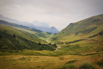
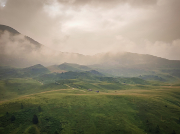
Then push with a few shoulder passes to the Val Cervia pass. We descend into the related valley on 400 meters of not always well visible comuqnue very nice S4 trail and then drop towards the end to S3.
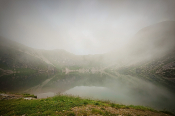
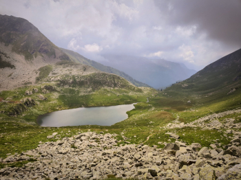
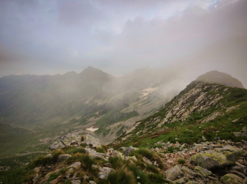
From here there is 450 meters of elevation gain on bike on trail not too uncomfortable to be done almost all by pushing. Except for the first 50 meters the trail is clearly visible for almost the entire ascent.
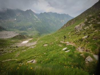
When we reach the pass we descend 300 meters on trail that could be called S3 but in places dug out and therefore not always rideable. We veer to the right and on a path halfway up but too discontinuous to be rideable we continue for about 1.5 km admiring the view of the valley alongside. Once fording a stream it will be almost all pedaled until the next rise, we continue to the Publino Dam, climbing back up the right side. The ascent to the Publino Pass is for the first 200 meters largely on the shoulder on a track that is not always clearly visible, as we continue the track becomes more visible with the last 150 meters doable even by pushing.
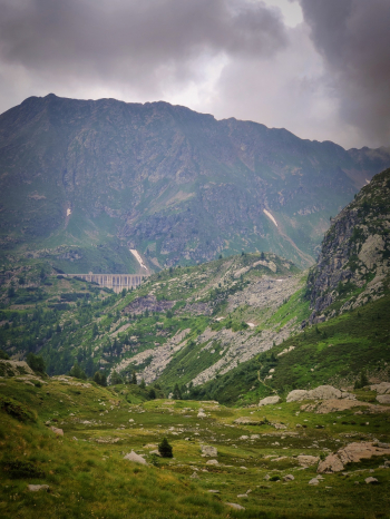
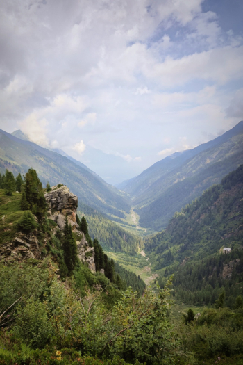
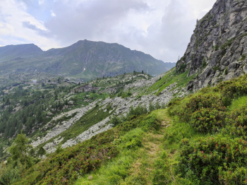
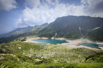
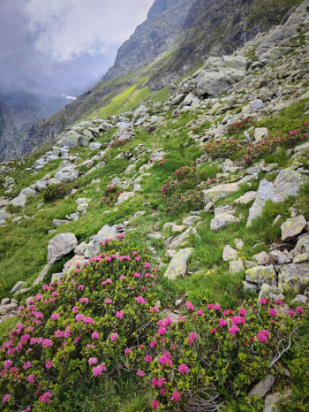
Arriving at the pass we deviate to the left towards the Cima di Zerna, arrived at the first section where it is necessary to put the bike on the shoulder I recommend to continue on foot as the descent would be little not very rideable; before the summit we find a couple of very scenic overhanging cracks on Lake Publino. From the summit the view is almost 360° and it is fantastic.
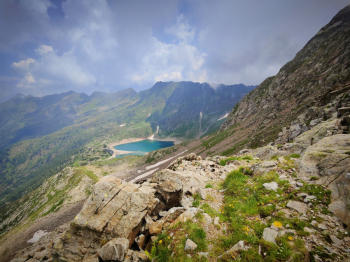
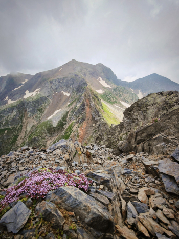
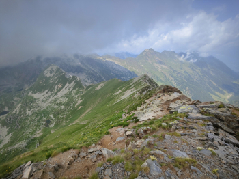
We retrace our steps to finally descend from the fantastic Val Sambuzza; about 1000 meters of medium S2 elevation gain, initially on a very very rocky mule track, then on mountain trail and finally in the last 400 meters a beautiful trail in the woods with various roots. If you have more you can go up for about 400 meters on asphalt and then you take the beautiful twins trail. Keep right for the last beautiful S3+ descent towards Carona.
Personal notes: If I had to do it again I would try going up to Publino Pass from the north trail, or I would try going up to Corno Stella, I was told it should be doable except for the first 100 meters (information to be verified). For those who want to do the Val Sambuzza, consider many uphill rideable sections.
Personal rating: views 9/10; descents 9/10 (except the one from Tonale Pass 6/10)
MTB: yes
EMTB: not recommended (although I did it with a 20Kg light)
Elevation gain: 2100 going up to take the last descent to carona (not in this track) ( +200m if you are on mtb and going up from provincial, not in this track)
Duration: about 8h
Exposed: nothing in particular downhill, uphill nothing too vertical
Draining: it would seem so
Water points: officers only after the descent into Val Sambuzza, they might have water even at Montebello refuge, then you have to rely on the various streams. I recommend starting with plenty of water.


 Italiano
 Deutsch