Italiano
 Deutsch
Rio Secco e DH Cler

This playful outing starts after the town of Idro, on the SP58 towards Capovalle.
We leave the car in one of the convenient roadside lay-bys and begin the climb that with 6.5 km and 400 meters of elevation gain takes us to the junction for Treviso Bresciano. On the hairpin bend we turn sharply left towards Treviso passing by the beautiful shrine dedicated to the Madonna del Rio Secco for the first time.
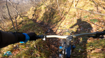
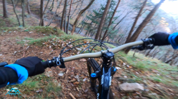
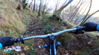
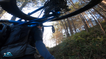
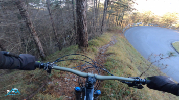
We continue up to the Cavallino della Fobbia pass where, still uphill, we bend decisively to the right on a dirt road following the Cocca Veglie-Manos signs, pass the Vici barn and leave the main dirt road just before crossing the Cocca Veglie colony to follow to the left a new downhill dirt road that after 1 km comes near a hunting post. We prepare for the first descent. We turn from first to the left and before reaching the hut to the right and then the unique and fun trail will lead us to the S. Rocco pass in Capovalle.
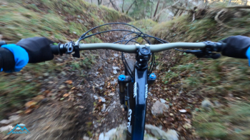
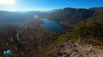
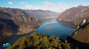
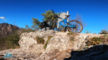
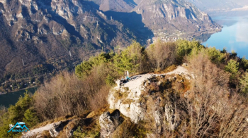
We continue to descend on the state road to the junction for Treviso and ascend again to the Rio Secco Sanctuary (60 meters of elevation gain) and after passing it for 30 linear meters at the bottom of a spacious lay-by begins li fun trail wire to the Cler barn. We proceed and after the evidently newly restored building on the left comes off the nice path called DH Cler that will take us back to the bridge to Capovalle with enjoyable effort. Now climb 180 meters of elevation gain remaining outside to the right of the tunnel to the Cocca d'Idro with a short push. Now climb the scenic Monte Crench by push or portandi for 120 meters of elevation gain D, sumptuous views.
Back to the Coccca d'Idro by the same route, I can't do it all in the saddle. From the Cocca you descend until you cross the state highway, screaming fun, go up the state highway on the left for 170 linear meters and from the right edge of the road unhook a steep but fun trail that skirts the state highway for a stretch to end a few dozen meters from the car. Difficulty never impossible but fun guaranteed.
Low-elevation tour that could be associated with Mt. Manos perhaps going up it from the usual downhill slope so as not to repeat the double ascent to Rio Secco but being designed as a winter tour I find it very satisfying even so.