
 Italiano
 Deutsch
Parco Spina Verde versione 30/3/1200
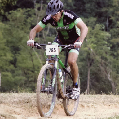
Spina Verde Park is a very interesting place for mountain biking, it offers an infinite number of variations and if you want you can ride there for a whole day doing miles and elevation gain to the point of boredom. I have uploaded a ride, as per the title, of about 30km, 3 hours and 1200 meters of elevation gain, great in autumn-winter because it remains at low altitude with a bottom that drains a lot in case of rain
the attached route is rideable with both front xc and more generous bikes, keep in mind that in Spina park there are also some little pistes where you turn with endurones and some use dh, very fun trails with very interesting jumps. I personally have lost count of how many times I have done them, all the bikes I have had I have tested right there.
In the track in question the last descent is part of one of the small pistes but being quite flow with a biammortized bike even with little travel you go without problems. The starting point for this ride is in San Fermo, near the newsstand next to the Bennet. Follow the trail because explaining it in words, given the amount of variations, becomes difficult.
The first piece is headed toward Baradello, going around it. The second piece enters the heart of Spina Park. A section of the trail is in Switzerland, and going through a gate you return to Italy. The interesting characteristic of this place is given by the variability of the fund, you can find everything, I consider this trail as the gym for mountain biking, technical just the right without ever exaggerating both uphill and downhill.
As for the views, it offers little, you go there to ride, only a couple of points overlook Lake Como, the Pin Umbrella and just ahead from the Croce hut.


