2023/05/31 09:25:36
Strada dell'Assietta
Author
Place
Italy - Piemonte, TO
Km
56,49 km
Elapsed time
08:48:20
Vertical meters
+1 450 mt (1374 - 2539)
Route difficulty
Landscapes
Last update
2023/05/31 12:03:16
Comments
Description
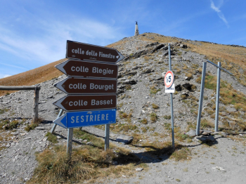
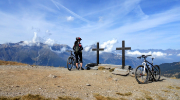
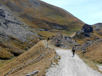
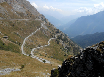
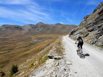
Classic loop ride on the "Assietta Road," more or less on the east-west ridge separating the Susa and Chisone valleys. This is a former military road well passable with a gravel bike. The road is open every year from mid-June to late October due to snowfall at high altitude. Maximum elevation 2540 m above sea level. Motor vehicle access is prohibited on Wednesdays and Saturdays in July and August.
No technical difficulties. The only section to be traveled with caution, only in rain/wet weather, is the descent from Col Basset to Sestriere due to slippery ground (fine dust).
- Start/end from the free so-called "cyclist parking lot" in Pourrieres (Val Chisone).
- Ascent on paved road to Pian dell'Alpe. Little traffic.
- From Sestriere, return on paved road with some traffic. There are sections where alternatives would be possible, but this is the fastest option.
Full information: http://www.stradadellassietta.it/
Local weather

°C

°C

°C

°C

°C

°C
Graph
Nearest Routes
20,07 km
Km
+1 191 mt
Vertical meters
Route difficulty
Landscapes
22,83 km
Km
+1 113 mt
Vertical meters
Route difficulty
Landscapes
25,74 km
Km
+1 019 mt
Vertical meters
Route difficulty
Landscapes
54,43 km
Km
+2 160 mt
Vertical meters
Route difficulty
Landscapes
81,05 km
Km
+2 758 mt
Vertical meters
Route difficulty
Landscapes
25,01 km
Km
+1 177 mt
Vertical meters
Route difficulty
Landscapes
61,32 km
Km
+2 620 mt
Vertical meters
Route difficulty
Landscapes
80,93 km
Km
+2 150 mt
Vertical meters
Route difficulty
Landscapes
68,38 km
Km
+2 000 mt
Vertical meters
Route difficulty
Landscapes
2024/08/08
- Italy - Piemonte, TO 62,88 km
Km
+2 500 mt
Vertical meters
Route difficulty
Landscapes


 Italiano
 Deutsch