
 Italiano
 Deutsch
Alta Via delle 5 Terre da Spezia a Deiva Marina

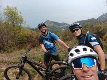
This itinerary connects La Spezia with Deiva Marina following the Alta Via delle 5 Terre. You start from the station in La Spezia and head towards Biassa, a small hamlet that you reach on asphalt via via Filzi. Once in Biassa we continue to climb until we reach the junction for Riomaggiore/Monesteroli, we continue to the right on asphalt and take the AV5T higher up, arriving from the asphalt we find it on the left and take the dirt road that goes to the right between the two possible. The first section is a dirt road on a false level, then it becomes a path. We stay on the main path all the time and the 5 Terre begin to peep out.
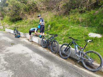
The first important fork is at the Cigoletta saddle, where we must take a right uphill, staying always on AV5T. We always stay on the main trail and keep left at the first fork, then on dirt road to the left downhill and then on trail again to the left. After a short transfer to asphalt we take the trail back to the right and reach Termine Pass, where a short piece of portage awaits us; the trail is on the right. We then come out on a secondary road that encircles Levanto where we can find a fountain to refresh ourselves.
We resume still on asphalt and arrive at Foce di Dosso, where we take the dirt road uphill to the right. After some deadly ramps at this point of the ride we come to having to take the path on the left, be careful to take the second and not the first. We thus arrive on 28/19, follow a piece of it ini downhill and then immediately to the right always on trail, we arrive near a quarry and connect to the asphalt road that goes up to the Guaitarola pass. Just before reaching the pass on asphalt we turn right on a path in the middle of the pine forest, at the end of the path we take a left and find ourselves on asphalt after the pass. This part is avoidable by following the asphalt all the time, but to break the monotony a bit in my opinion it is worthwhile. We continue on asphalt until we reach the junction for Bracco, take a left and then an immediate right to reach the top of San Nicolao, where we take the Ruggentiero. Following the Ruggentiero we reach the Tagliamento, where the Incisa trail starts, taking us back to Deiva.
The trail ends near ala station, so you can then move by train to your preferred direction.