Italiano
 Deutsch
Lunigiana gravel
Lunigiana gravel starting from Podenzana.
The track represents an incomplete attempt to do the Lunigiana Gravel in four days, beware that if you want to do it these days read the text below, there is a detour.
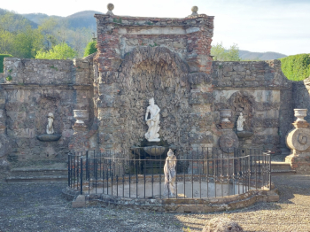
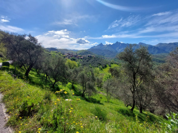
The stages are Podenzana (from which we started from a free parking lot in the village, look at the end point of the track), Pontremoli, Fivizzano, Equi Terme, Podenzana again. On the first day the ride is done according to the official track, mostly on dirt except for the long final descent. There is a short section missing at the beginning, but just turn onto Via del Gaggio. This is the wildest part of the route, mostly at high altitude and away from the villages, following the ridgeline fairly closely. However, you pass close to a refuge where we had a sandwich (Rifugio dei Cacciatori).
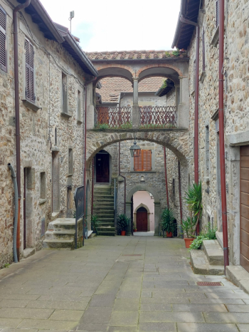
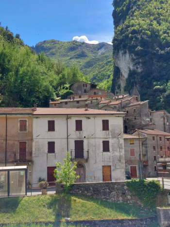
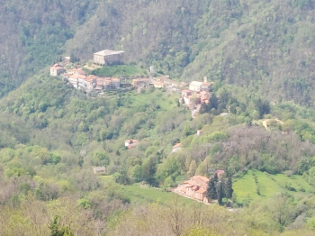
The second day is largely on asphalt, slightly less demanding, although more kilometers are covered (having chosen Fivizzano as the day's destination for a better alternative for an overnight stay instead of the closer Pontebosio). After an initial ascent and descent, we travel a section in the valley, shared with several different paths, including the Francigena. We then climb to Bagnone, the most important town we pass through and where we ate in a café and then continue up and down to Fivizzano, the day's destination. This day is also on the official trail.
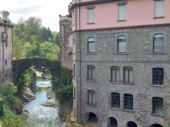
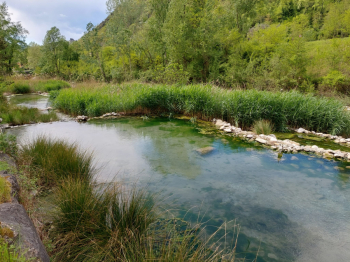
The third day is the shortest benefiting from the extra stretch covered the day before, mostly on asphalt and with views of the Apuan Alps, and ends in lovely Equi Terme where we found the thermal baths closed but a chance to bathe in the so-called "puddles." Due to a bridge closure on SP 15 towards Luscignano we took a detour on the longer SP 16 and SR 445, but the situation should be resolved by May 10. The descent to the village is along a somewhat bumpy single track.
The fourth day is unfortunately just an emergency cut to avoid late morning thunderstorms, and closes quickly on asphalt from Equi Terme to Aulla and then back up to Podenzana.
Except for the first day, several springs and fountains are found. The tour is looped and rideable in three to four days. There is a train station in the main valley bottom towns, Aulla and Pontremoli among them.