Colazza: counterclockwise loop at Mottarone
The new TC is glaringly missing a trail in a place that, at least years ago, was considered among the MTB edens, the Mottarone area in the VCO.
We start from the village of Colazza, in the lair of the "Cornaggia Wolves," a historic MTB group in the area. Just above the village there is a nice dirt parking lot near a restaurant where you can comfortably stop and perfect for the start. Here I describe a nice trail that takes us to the top of Mottarone, we will do 50km and 1740meters D+, where the paved sections are reduced to a minimum. There are some sections with steep climbs on rutted dirt roads where the less trained will have to push, also because the pre-course is long and in the final it really seems that the climb never ends, so keep your energy for the last 12km section. Note that the final part can be bypassed, for example by taking for the sass del Piz or other descents that you can find on trailforks.
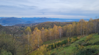
But let's get going, we start on a forestry road that climbs gently with some glimpses towards Lake Maggiore for 10km, where we can say that the main climb begins, which will take us to the top after another 12km, at an altitude of 1434mt. Here the climb gets tough, always above 10% with notable peaks, but every now and then it is worth stopping to admire the scenery over Lake Maggiore.
This is our destination-the summit of Mottarone
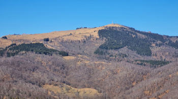
Along the first section of the trail.
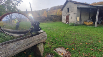
An alp where you can refuel with water.
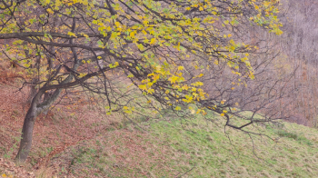
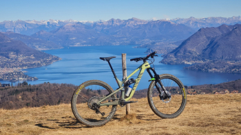
The autumn foliage and Lake Maggiore
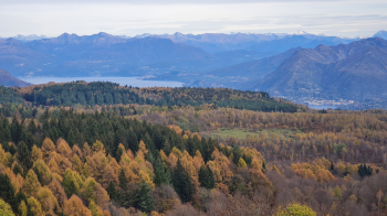
Our trail, not bad is it?
Just above the alp we come to a fork in the path, where the summit of Mount Bonfire is indicated. From the junction this peak can be reached in 10 minutes pedaled, and from there there there is a remarkable view and really worth the detour (the trail is missing), or even just as a destination for a shorter trail.
View from Mount Bonfire, photo taken last year!
From the junction we continue to the right to reach the bitumen road that goes up to Mottarone, but we immediately abandon it at a hairpin bend to turn towards the Volpe Alp, which takes us to the other paved road, the Borromeo's private road. From here we climb to the summit. Actually shortly afterwards you could abandon it to take a forest road that passes just below the site of the cable car disaster of a couple of years ago, but I do not recommend it as the climb is very badly tanned and is quite steep.
From the top of Mottarone there is a view of Mount Rosa....
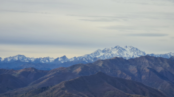
It towers above Lake Orta, in the distance Monviso, the Cottian and Maritime mountains!
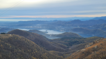
And you catch a glimpse of Lake Maggiore, the lakes of Varese, and of course the Po Valley, including the skyscrapers of Milan if the day is clear.
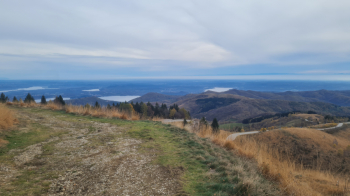
Well, after the moment spent enjoying the scenery we set off again down the descent that skirts the paved road, and occasionally crosses it. Be careful not to lose the trail!
This is up to a fountain (not always fed) , where we briefly resume the bitumen road and then begin a section of trail that takes us to the Farfossa Alp (988mt) and with a few ups and downs again to the junction at Mount Bonfire. From here we take the forest road to the right and swoop down a fun stretch made up of lots of jumps, just great attention to pedestrians and/or cyclists going up! In that case better to stop at a distance and let them pass safely.
We then arrive at another paved road (km 35) where the descent ends. From here we climb for 5km, first on asphalt and then forestry, which continues with endless ups and downs for the remaining 12km until we arrive back at the parking lot, tired and happy!
Note: technical difficulty 2, fatigue 4, so I averaged!


 Italiano
 Deutsch