Italiano
 Deutsch
Giro del Gran Combin, giorno 2

The highlight of the Giro del Grand Combin. You can find the first stage here. It’s advisable to split this stage into two parts and spend the night at the Bonatti refuge.
From Etroubles, follow the stream along the valley floor before climbing toward Arp du Jeux, a ski area with a restaurant, where a beautiful farm road begins. This road leads into a spectacular valley and takes you all the way to Malga de Merdeux, where you can refill your water supply.
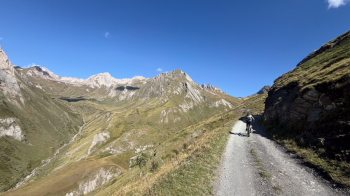
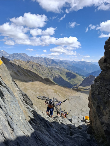
From here, there’s a 650-meter climb where you’ll have to push and carry your bike up to the Col de Malatrà (2,934 meters). We added a short (rideable) detour to the Frassati Mountain Hut, essential for enjoying a plate of pasta in preparation for the long day ahead in the saddle.
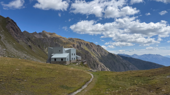
The final stretch before the Malatrà is challenging, as it involves climbing over rocky terrain with your bike on your shoulder. There’s a rope for safety. The effort, however, will be well worth it as soon as you reach the pass.
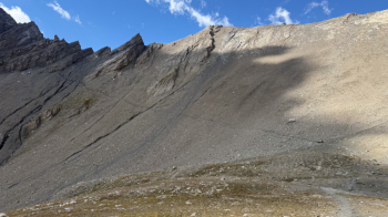
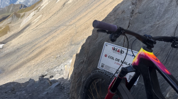
In fact, what awaits us is a trail that’s rideable (S2)—except for the very first few meters—with a breathtaking view of Mont Blanc and the Grandes Jorasses.
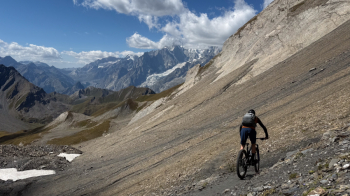
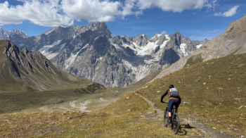
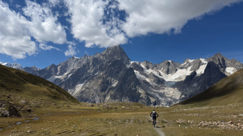
Some sections through a scree field will require pushing your bike, but overall, the trail is one of the most spectacular and beautiful routes I’ve ever tackled in my life as a mountain biker. With the added bonus of not encountering anyone on the trail until you reach the Bonatti Refuge (2,026 meters), where you have two options: stay the night (reservations required—we’re on the Tour du Mont Blanc route and there are many hikers) or refuel with a slice of cake before another magnificent stretch on the right side of the valley. We’ll continue first on a rideable climb, then through several ups and downs, until we descend onto the dirt road that will then take us uphill to the Elena Refuge (2,056 meters). This trail section is very popular with hikers, so yield the right of way and, if possible, ride it early in the morning (if you stayed overnight at the Bonatti) or in the late afternoon (if you’re doing the entire stage in one go).
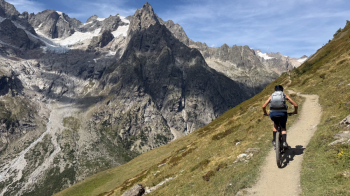
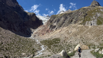
From here begins the second push of the day: a 500-meter climb on an easy trail (much easier than the Malatrà) up to the Grand Col Ferret (2,536 meters). Since the descent toward the Swiss Val Ferret is used by hikers on the TdMB, we continued toward Petit Col Ferret on a trail that’s mostly rideable but has some sections where you’ll need to walk your bike.
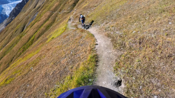
Before reaching the Petit Col Ferret, we crossed the border into Switzerland on a trail where there was no one else.
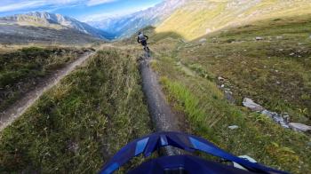
The entire route is rideable (S2) except for a very short cut section. It’s one of the highlights of this ride because it’s narrow, requires careful navigation, and is full of curves and hairpin turns. Absolutely beautiful. We then arrive at Lechere Dessous, where we follow a dirt road that takes us down to the valley floor. We pass through Fouly and from there continue along the left side of the valley on dirt roads and singletrack that get more and more beautiful until we reach another highlight of the day: a trail full of roots and a few jumps (S2/S3) that will drain your last reserves of energy but will have you reaching the paved road to Orsieres with a huge grin on your face.
In Orsieres, we stayed at the Terminus Hotel near the station—not recommended because at night, freight trains seem to pass right through your room. The best option would be to stay in Fouly.
Here you’ll find the third stage.