Italiano
 Deutsch
Lacs de Fenetre e Val Ferret

A fantastic ride through the Great St. Bernard and Mont Blanc area, straddling the border between Italy and Switzerland. The starting point is at the Great St. Bernard Pass, which I personally reached by taking the bus from Orsières, Switzerland. The pass is very crowded, but luckily we follow the road downhill toward Aosta for a short stretch and then leave the traffic behind us. Here’s the free parking lot in Orsières on Google Maps.
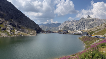
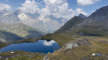
Now we have to push our bikes up 300 meters in elevation to the Fenêtre de Ferret, where a breathtaking view opens up over Mont Blanc and the Fenêtre lakes, which we’ll be passing through. I should mention that the entire route is frequented by hikers, so yield the right of way and be courteous. Also, since you’ll be the only cyclists they see all day, there shouldn’t be any major issues with tolerance.
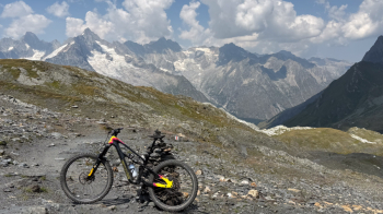
The descent to the idyllic lakes is fairly straightforward; you just need to find the right line. They’re worth a break—or at least a few photos.
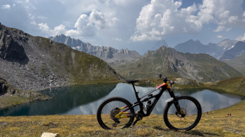
Immediately after the last lake, the trail gets a bit more technical at first, with a few S3 sections or spots where you’ll need to push your bike. The great thing is that right after that, the trail becomes much easier and smoother. The only thing that slows us down is the view, which is worth stopping to appreciate.
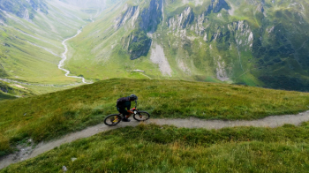
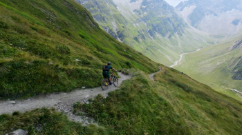
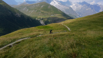
I’d say the difficulty is S2 up to the junction with the dirt road. From the mountain hut, I took a detour, ending up on a cattle trail that’s very short and leads to the aforementioned road. We follow it to the parking lot, and from there we climb to the left towardthe Alpage de la Peule, where you can also stop for a snack. Note that from here on, there are lots of tourists (Americans and Asians) with heavily loaded backpacks because they’re hiking the Tour du Mont Blanc. As mentioned earlier, you’ll be the only cyclists they see all day, and you’ll receive nothing but applause and cheers. This is also because the trail you’re about to tackle is a real challenge, as it’s constantly up and down with some technical sections due to tree roots. The hardest part is riding all the uphill sections in the saddle. A true highlight of this ride, with the glaciers always in view.
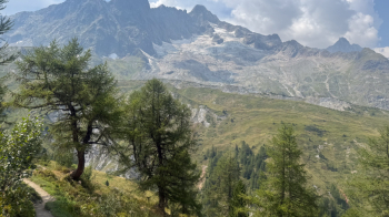
You’ll reach the point where the descent begins—it’s impossible not to take a photo.
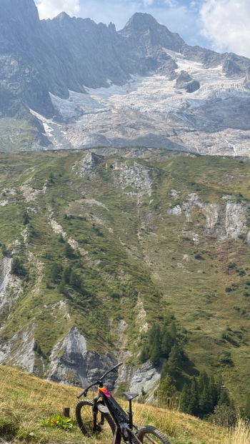
Now we’re on the orographic left bank of the Ferret stream, riding along dirt roads and trails. The final section is a new challenge, as it goes up and down, and the roots will require some serious effort to navigate. It’s a lot of fun and quite challenging.
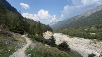
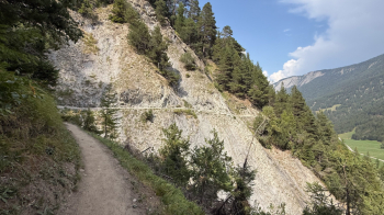
This trail ends at a paved road, which we’ll follow back to the starting point: the free parking lot in Orsieres near the schools. If, on the other hand, you parked at the Great St. Bernard Pass, be sure to check the bus schedules carefully. Cycling along the pass road isn’t recommended all the way to Bourg-Saint-Bernard, since it goes through tunnels and there’s a lot of traffic that then disappears into the tunnel leading to Aosta right from Bourg-Saint-Bernard. However, there should be a bike trail on the other side of the valley.