Italiano
 Deutsch
Spitzhorli + Stockalperweg (da Gondo)
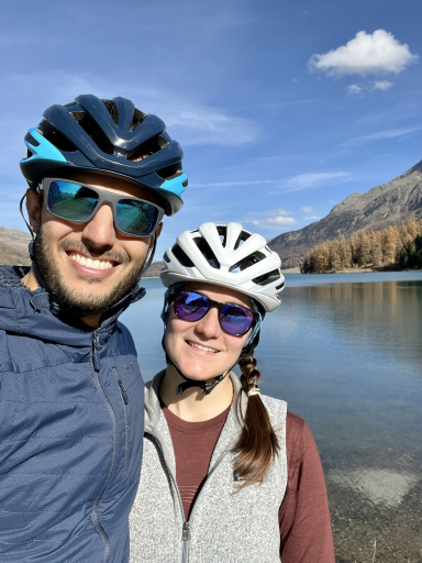
The Spitzhorli is one of my favorite rides, and if you start by taking the PostBus from Gondo, it means a sublime 2,000-meter descent. You start right from Gondo; you can park for free just before the Swiss customs checkpoint, on the left as you head uphill. Then take the PostBus to the Simplon Pass. The fare is 22 CHF, including transportation and bike reservation. I wouldn’t even recommend cycling uphill to the Simplon Pass from Gondo to my worst enemy (because of the tunnels and traffic). Instead, you can easily do it from Simplon Dorf via a series of car-free side roads. But in that case, you’ll have to forgo about 700 meters of descent.
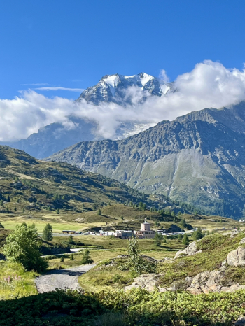
Once you arrive at the pass by PostBus, head immediately up the opposite slope toward the hospice. Looking back every now and then, you’ll see the north face of the Fletschorn (with a light dusting of snow from the day before) looming behind you:
To reach the summit of the Spitzhorli, there’s a 750-meter climb. Part of it is rideable, and part of it requires pushing the bike along a consistently pleasant trail—first through bushes full of blueberries, then through increasingly open spaces—until you reach the Usseri Nazlicke pass at an elevation of 2,600:
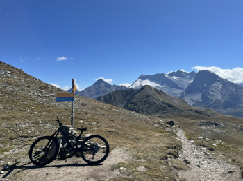
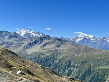
Once at the pass (which we’ll pass through again on the descent), we turn right to push the bike up the final 100 meters of the climb (the first part of which is quite steep). Here, too, if you look around every now and then, the view isn’t half bad, with the Weisshorn and Dom de Mischabel taking center stage, and a preview of the ridge trail that awaits us shortly:
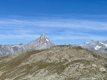
Once at the summit of the Spitzhorli (at an elevation of 2,700), the view is magnificent, with the Finsteraarhorn dominating the northern horizon:
So now it’s time to refuel in preparation for what lies ahead: a non-stop 2,000-meter descent on the trail down to Gondo. The first few meters (up to the pass) are also the steepest and have some loose rocks, but they’re easily handled on the bike:
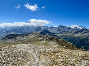
After that, a thrilling and lightning-fast alpine traverse begins (watch out for the occasional hiker)—one you’ll wish would never end:
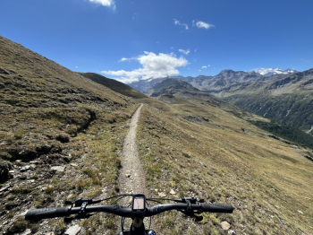
Once you reach Bistine Pass, keep to the left and climb a few meters to start another incredibly fun section, with some nice rock sections that are never too difficult.
At an elevation of about 2,250, there are two options: if you keep to the left, you’ll take another long, beautiful traverse along a trail (which is clearly visible from the Simplon Road) that leads back up to the pass. On this route, however, I kept to the right (the trail wasn’t really visible) to cross the river and rejoin the trail descending from Magelicke. It’s another 400 meters of descent on an alpine trail (I’d say all S2 here as well) that’s a lot of fun, with some nice curves in the final stretch, near the village of Gampisch.
From here, you rejoin the famous Stockalperweg for another 1,000 meters of descent. In the first part, there are some nice bursts of speed through the woods, alternating with fast sections, and a very brief challenging stretch at an elevation of about 1,800 meters. In Simplon Dorf, there are a couple of cool fountains before continuing (after a very short stretch on the road) along the trail through Gabi and on to the Gondo Gorge.
Here, you’ll carry your bike across some very scenic metal footbridges: if you’re afraid of heights, we don’t recommend looking down:
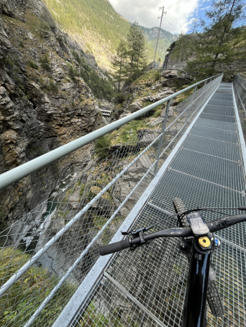
The last footbridge will then take you to the Gondo Fort, where you’ll enter the narrow tunnel (lit between 7 a.m. and 8 p.m.) that houses the Simplon Ecomuseum:
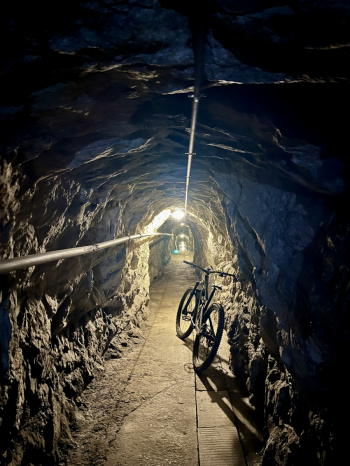
Once you exit the tunnel, there are three steep hairpin turns with some loose rocks and slightly exposed sections. I walked through them, but with good technique, you can ride through them. After that, there’s a beautiful stretch over boulders that will confirm—or not—whether you’ve adjusted your sag correctly (assuming you haven’t already noticed by now). A final stretch of trail alternating with a paved road will eventually lead you out to Gondo, bringing this magnificent ride to a close.