Italiano
 Deutsch
Al Cospetto del Monte Fallere: Becca France Trail + Thouraz DH Integrale
Preamble: to do this Zero Total Bitumen traverse, you need to get taken to Vetan and get picked up in Sarre. In case you want to do a loop tour, you need to start from Caillod and ski 500/600 mt d+ on boring bitumen. Shuttle Service.
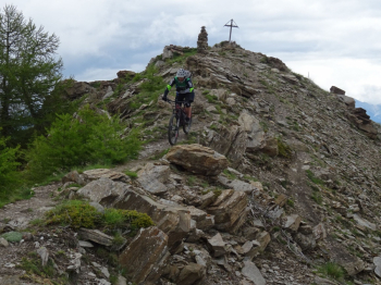
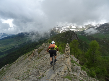
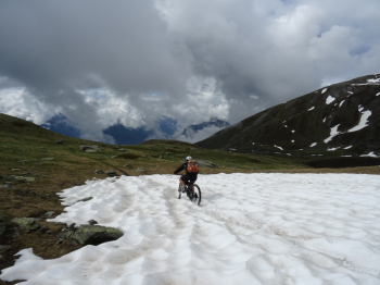
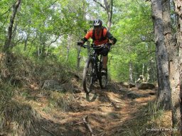
As stated, we start from Vetan and on comfortable prairie road we climb in the direction of Refuge Mont Fallere, short stop to admire the surrounding peaks still quite snow-capped: the Fallere the Vertosan and the Leyssere are majestic! Now first descent on the Becca Trail beautiful trail never too difficult with several relaunches, then fast and steep towards the end; we also opted to climb to the Becca France summit with little effort and super panorama!
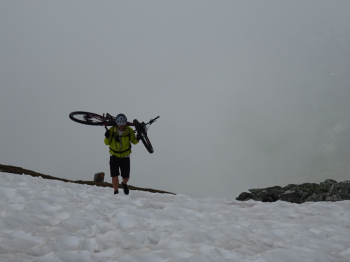
After this trail we have to go up all the valley on a comfortable gippabile but quite long up to the village of Chèsere, a few more pedal strokes up to an altitude of 2270 meters then begins the ascent to the Point de Metz on beautiful trail that with bike on the shoulder in the final 300 meters of elevation gain, tiring but not too much, catapults us first to the Col de Metz then to the homonymous Cima.
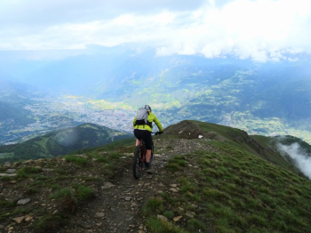
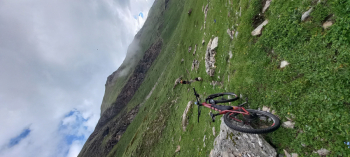
Panorama over the central valley truly remarkable! Behind us peeks through the clouds the coveted Punta Chaligne, but today it doesn't know what to do, the rain and thin hail make us give up and put on the protections quickly to start the super descent that with 2000 negative meters catapults us to Sarre. As someone says: the intoxication will be remarkable!
Now all that's left is a nice Aosta Valley reintegration at La Rotonda restaurant in Aosta with its famous maxi steak frites, much deserved!
NB: at the end of the ride you will have done about 3000 negative meters of descent with the 2 trails. Today the Integral descent to Sarre found in perfect conditions thanks to the passage in the morning of the SkyRunner. Always check the walkability especially in the second part.