HOME RANKINGS CHALLENGES ROUTES NEAR ME PLANNING SEARCH LOGIN
Italy - Liguria, GE
2026/08/08 17:26:50

Geometra - Corsaro - Eremita

1 Downloads
0
 
Share

Key Takeaways / Scheda Tecnica

Disciplina:
Mountain Bike (MTB)
Percorso:
Geometra - Corsaro - Eremita
Località:
Italy - Liguria, GE
Distanza:
42,36 km
Dislivello Positivo:
+1 564 mt (Quota Min: 15m - Max: 821m)
Difficoltà Tecnica:
4/5
Valutazione Panorami:
4/5
Formato Traccia:
GPX Download disponibile
Author
Antosangui
(121)
Place
Italy - Liguria, GE
Km
42,36 km
Elapsed time
04:36:32
Vertical meters
+1 564 mt (15 - 821)
Route difficulty
Landscapes
Last update
2026/08/08 17:29:05
Comments
0
Description

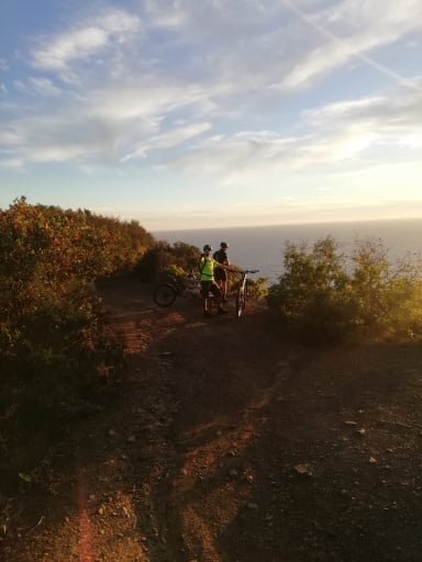
This route takes in three of the most iconic trails in the Monte Fasce area. Starting from downtown Genoa, the route climbs along a paved road toward Monte Fasce, beginning in the Borgoratti neighborhood. The ascent faces west; on summer mornings, there are many shaded sections that make the climb easier. Once you reach the Fasce clearing, turn right and head toward the antennas. The view of the sea is well worth it—you can see the Portofino headland.
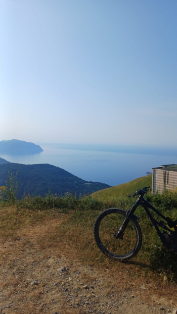
Foto itinerario MTB Geometra - Corsaro - Eremita - Italy - Liguria, GE

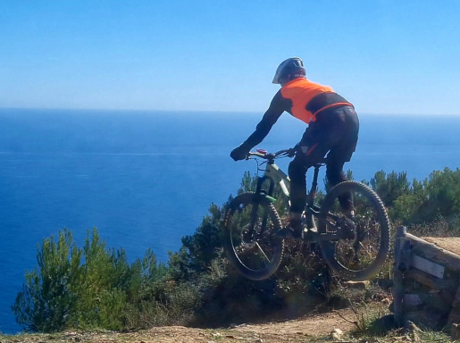
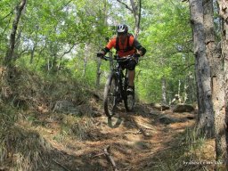
Here on the right, the first trail of the day begins: Geometra. It’s a well-maintained, banked trail with great flow. Descend until you reach the road you climbed earlier, cross it, and take the Corsaro trail. As of July 2026, the trail has just been repaired, and a detour on the left has been added to bypass a damaged section—just follow the markings. At the end of the trail, turn left toward Poggio di Apparizione; immediately after the fork, you’ll find a fountain. This “eat and drink” singletrack takes you to Poggio di Apparizione, where you turn left again onto the paved road leading up to Monte Fasce, which you follow until you return to the open area. Here, take the dirt road on the left that climbs uphill; it features two pretty tough climbs leading to the entrance of the Eremita trail. The trailhead is located to the left of the dirt road and is somewhat hidden. The trail ends in San Desiderio; from there, head back on the paved road toward Corso Europa and the center of Genoa.

Download our free mobile app to send this route to your Garmin device or to navigate it on OSM maps. Android - iOS
Local weather
Mar 00:00
19 °C
Mar 12:00
21 °C
Mer 00:00
18 °C
Mer 12:00
19 °C
Gio 00:00
17 °C
Gio 12:00
20 °C
Ven 00:00
14 °C
Ven 12:00
17 °C
Sab 00:00
15 °C
Sab 12:00
16 °C

Graph

Nearest Routes

2026/08/08
- Italy - Liguria, GE
Antosangui
(121)
47,29 km
Km
+1 223 mt
Vertical meters
Route difficulty
Landscapes
2026/03/29
- Italy - Liguria, GE
Antosangui
(121)
66,85 km
Km
+1 223 mt
Vertical meters
Route difficulty
Landscapes
2026/03/29
- Italy - Liguria, GE
Antosangui
(121)
27,08 km
Km
+1 003 mt
Vertical meters
Route difficulty
Landscapes
2022/08/25
- Italy - Liguria, GE
40,77 km
Km
+905 mt
Vertical meters
Route difficulty
Landscapes
2026/02/02
- Italy - Liguria, GE
tado79
(16)
45,44 km
Km
+1 800 mt
Vertical meters
Route difficulty
Landscapes
2023/04/06
- Italy - Liguria, GE
50,83 km
Km
+1 353 mt
Vertical meters
Route difficulty
Landscapes
2022/12/11
- Italy - Liguria, GE
BAROLO71
(35)
25,81 km
Km
+982 mt
Vertical meters
Route difficulty
Landscapes
2024/10/21
- Italy - Liguria, GE
Antosangui
(121)
26,26 km
Km
+1 264 mt
Vertical meters
Route difficulty
Landscapes
2023/03/23
- Italy - Liguria, GE
BAROLO71
(35)
23,29 km
Km
+1 011 mt
Vertical meters
Route difficulty
Landscapes
2023/03/26
- Italy - Liguria, GE
BAROLO71
(35)
27,63 km
Km
+1 300 mt
Vertical meters
Route difficulty
Landscapes

0 Comments