HOME RANKINGS CHALLENGES ROUTES NEAR ME PLANNING SEARCH LOGIN
Italy - Liguria, GE
2026/03/29 21:44:50

Trail Ciclamino-Taxi Rider-Mura-Bruco

2 Downloads
0
 
Share

Key Takeaways / Scheda Tecnica

Disciplina:
Mountain Bike (MTB)
Percorso:
Trail Ciclamino-Taxi Rider-Mura-Bruco
Località:
Italy - Liguria, GE
Distanza:
27,08 km
Dislivello Positivo:
+1 003 mt (Quota Min: 30m - Max: 636m)
Difficoltà Tecnica:
3/5
Valutazione Panorami:
4/5
Formato Traccia:
GPX Download disponibile
Author
Antosangui
(121)
Place
Italy - Liguria, GE
Km
27,08 km
Elapsed time
02:37:21
Vertical meters
+1 003 mt (30 - 636)
Route difficulty
Landscapes
Last update
2026/03/29 22:58:45
Comments
0
Description

Route within the Forti di Genova bike area. Departure from downtown Genoa; on Sundays, blue parking spaces are free. The route climbs toward Righi on paved road; once you reach the first forts, take the dirt road on the right that continues uphill—it has recently been improved. This brings you to Forte Fratello Minore, where the first trail, Ciclamino, begins on the left. Follow the first section, then take a nice single track on the left that leads back to the Forts’ dirt road. From there, head up to the left, and before reaching Fratello Minore, turn right to climb to the ruins of Forte Fratello Maggiore, where a view of Genoa opens up.

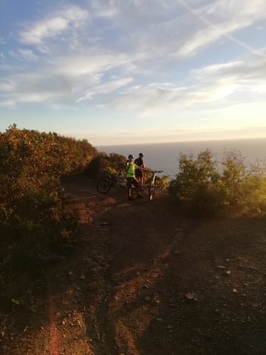
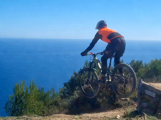
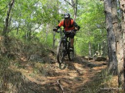
Foto itinerario MTB Trail Ciclamino-Taxi Rider-Mura-Bruco - Italy - Liguria, GE

Descend along the ridge, heading back to take the Taxi Rider trail, one of the first built in the area. At the end of the trail, take the sheep trail on the left, which leads back to the dirt road. Here, avoid the steep concrete slope by taking the single track on the left, then climb up to just below the walls and take the trail of the same name, which is currently a bit muddy. At the end of the trail, turn left onto the asphalt and climb for a few hundred meters to reach the lower section of the Bruco, which takes you all the way to Oregina.

From here, head back on the paved road toward the center of Genoa.

Download our free mobile app to send this route to your Garmin device or to navigate it on OSM maps. Android - iOS
Local weather
Mar 00:00
19 °C
Mar 12:00
21 °C
Mer 00:00
20 °C
Mer 12:00
20 °C
Gio 00:00
17 °C
Gio 12:00
20 °C
Ven 00:00
14 °C
Ven 12:00
17 °C
Sab 00:00
15 °C
Sab 12:00
16 °C

Graph

Nearest Routes

2026/03/29
- Italy - Liguria, GE
Antosangui
(121)
66,85 km
Km
+1 223 mt
Vertical meters
Route difficulty
Landscapes
2026/08/08
- Italy - Liguria, GE
Antosangui
(121)
47,29 km
Km
+1 223 mt
Vertical meters
Route difficulty
Landscapes
2026/08/08
- Italy - Liguria, GE
Antosangui
(121)
42,36 km
Km
+1 564 mt
Vertical meters
Route difficulty
Landscapes
2022/08/25
- Italy - Liguria, GE
40,77 km
Km
+905 mt
Vertical meters
Route difficulty
Landscapes
2026/02/02
- Italy - Liguria, GE
tado79
(16)
45,44 km
Km
+1 800 mt
Vertical meters
Route difficulty
Landscapes
2023/04/06
- Italy - Liguria, GE
50,83 km
Km
+1 353 mt
Vertical meters
Route difficulty
Landscapes
2022/12/11
- Italy - Liguria, GE
BAROLO71
(35)
25,81 km
Km
+982 mt
Vertical meters
Route difficulty
Landscapes
2024/10/21
- Italy - Liguria, GE
Antosangui
(121)
26,26 km
Km
+1 264 mt
Vertical meters
Route difficulty
Landscapes
2023/03/23
- Italy - Liguria, GE
BAROLO71
(35)
23,29 km
Km
+1 011 mt
Vertical meters
Route difficulty
Landscapes
2023/03/26
- Italy - Liguria, GE
BAROLO71
(35)
27,63 km
Km
+1 300 mt
Vertical meters
Route difficulty
Landscapes

0 Comments