
 Italiano
 Deutsch
Piani di Praglia da Genova

This route starts in the center of Genoa. The first few kilometers are in the city center, and traffic is heavy on weekdays; Sunday mornings are better. Alternatively, you can start from the Bolzaneto area and avoid the first few kilometers. Take the paved road that climbs from Campomorone to Piani di Praglia. The climb is long; the first part rises gently, while the middle and final sections are steeper. At the top of the climb, turn left—but not before taking a break to admire the view.
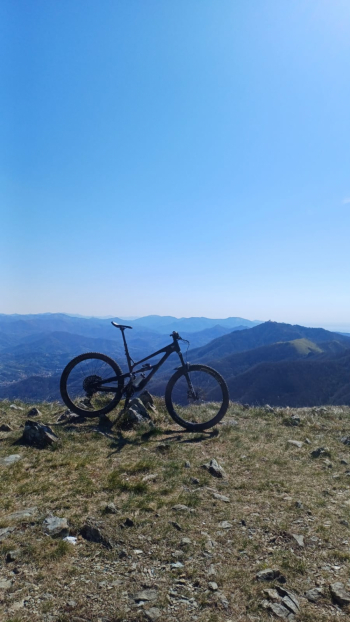
From here, continue on the dirt road toward the Alta Via dei Monti Liguri; there are short, steep sections on loose dirt, but they’re still manageable while riding. You’ll arrive at Colla Gandolfi—time for the obligatory photo.
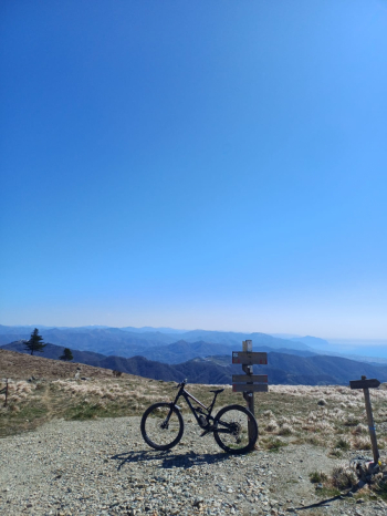
Take the trail to the right, following the AV signs toward the Turchino Pass. After a few hundred meters, stay to the right to take the bypass trail to avoid a section of the path that is not rideable. Then rejoin the Alta Via and follow it until you reach the start of the Trail Veleno on the left. Descend on a very fun, well-maintained trail until you reach the paved road. Continue downhill for a few hundred meters, then turn right onto a dirt road. After a short ride, you’ll arrive at the start of several trails; take the one farthest to the right, the Trail delle Terme. This one is also very fun, though there are currently some leaves scattered about from the strong winds of recent days.
At the end of the trail, turn right onto a dirt road and after a few meters, turn left onto a connecting single track leading toward Mele. Close the gates behind you!
We continue downhill until we cross the state highway descending from Turchino, where we turn left and head back toward the coast. From here, it’s the long ride back to the center of Genoa, trying to make use of the few bike paths available.


