Italiano
 Deutsch
Passo Spino, Sentiero dei Ladroni, Campei de Sima, Manos, Bollone, Orti, Valpegle
We start from Roè; the first part will be on easy asphalt, passing by the Vittoriale to reach S. Michele with a view of Lake Garda. Now get ready, because the climb leading to Passo Spino will be challenging, with steady gradients that will take you to the mountain hut. After a short break, it’s time to take the Sentiero dei Ladroni trail. It won’t be entirely downhill but will have a few uphill sections.
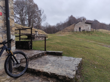
Once the trail is over, we’ll head toward Campei de Sima and the Granata mountain hut, which has an unregulated water fountain (I’ve always drunk from it and never had any problems). After a break to refuel, we’ll set off on another beautiful trail to cut across the mountain toward Coccaveglie: it’ll be an up-and-down route with some steep sections that’ll force us to push our bikes, and the final stretch is quite challenging.
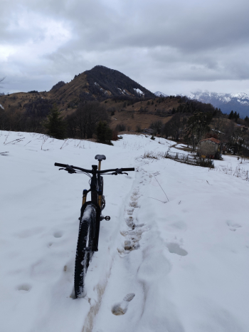
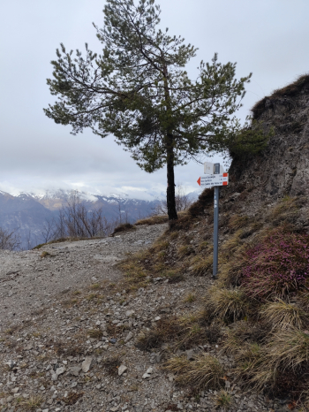
Once you reach the hut, you can catch your breath; there’s a climb that’s never too steep. We’ll pass through Coccaveglie first and then go under Mount Manos. If you want to shorten the route just before a hut and the yellow house, there’s a trail leading to the S. Rocco Pass. Once at the pass, a nice (though somewhat muddy) descent awaits us, with a fun first section and a slightly more technical second section on loose terrain that will take you to Bollone, where you’ll then take the fantastic Orti trail, which also cuts through the mountain. After passing Capovalle, we’ll climb again to the Cavallino Pass via the final trail, Valpegle, to wrap up the day.
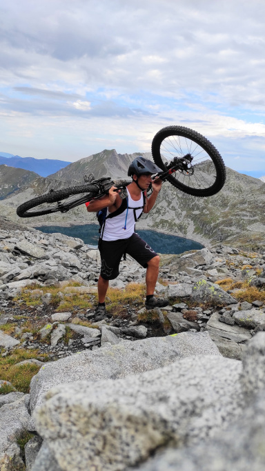
A challenging ride, especially due to the steep climbs; suitable for riders with good downhill skills, even though there are no particularly difficult sections, given the narrow and sometimes exposed trails.