Italiano
 Deutsch
Terre Bianche

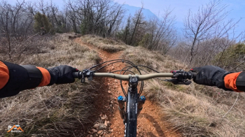
This highly enjoyable tour starts from Sabbio Chiese, reaching Fratta on a slight incline, followed by a challenging climb on bike and on foot to Monte Magno. From here, turn left onto a slight incline on asphalt for a short stretch, then keep right towards Selva Piana and, at a steep bend after a 500-meter climb, you will find yourself at the start of two descents. Yes, of course there will also be two climbs.
The first trail is the Andrea trail (also known as the Capanni trail), which is great fun, never too difficult, and descends to Fontanelle. Then, with a left turn outside the village center, we climb 70 meters to first take a dirt forest road and then a challenging trail that leads us to the Chiese river cycle path, and from there, the entire climb is repeated exactly.
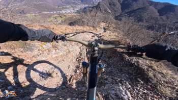
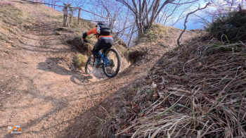
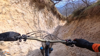
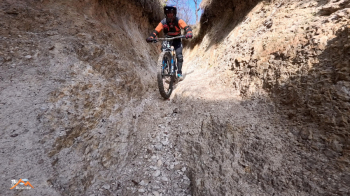
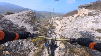
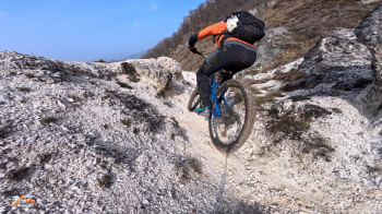
We set off on the second descent, which is the same as the first section, but at the junction with trail 504, instead of continuing straight ahead, we turn sharply to the right and throw ourselves into an amazing canyon. It is beautiful, breathtaking, with only one flaw: you wish it would never end. We continue along that undulating trail to P. della Fobbia. There is another short climb on a beautiful forest road until just after Fobiet, and then the descent begins on the forest road. At a fork, we turn left to leave the forest road. This is the beginning of the Terre Bianche trail, even though we are immersed in a sea of clay. The white earth, which is the result of the erosive action of the Marne, is found lower down where the vegetation is sparse and the phenomenon is more pronounced. The trail passes through furrows and gullies in this white earth, giving the landscape its fantastic uniqueness and providing us with great enjoyment.
The route is not excessive in terms of length and elevation gain, but the setting is very beautiful and the technical difficulties, which are never trivial but also never impossible, guarantee great fun.