
 Italiano
 Deutsch
2025/11/19 21:14:48
Merano Renon Sarentino Merano 2000
Author

Place
Italy - Trentino-Alto Adige/Südtirol, BZ
Km
72,83 km
Elapsed time
05:17:29
Vertical meters
+2 400 mt (331 - 2158)
Route difficulty
Landscapes
Last update
2025/11/20 09:43:47
Comments
Hotels
Description
A highly satisfying itinerary with spectacular views, with no particular technical difficulties, that takes advantage of public transportation with bike transport to take you to higher altitudes and thus save about a thousand meters in elevation gain.
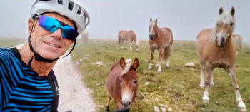
From Merano you take the train to Bolzano and then the cable car to Soprabolzano. From here along beautiful paths you reach the top of the Renon, with wonderful views.
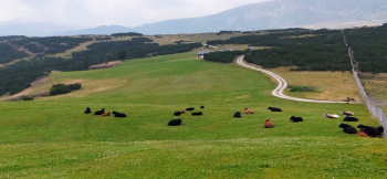
You descend to the Mair in Plun hut, with good refreshments, and climb up to the Stoefflhuette (refreshments).
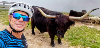
Immediately afterwards you descend to the Sarentino valley on a rather rocky road and then to Sarentino.
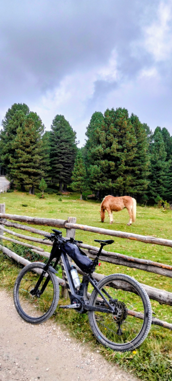
From here you go up to the Merano hut, then to Avelengo and down to Merano (on trail for the more technical)
Local weather
Thu 00:00

16 °C
Thu 12:00

22 °C
Fri 00:00

19 °C
Fri 12:00

20 °C
Sat 00:00
17 °C
Sat 12:00

22 °C
Graph
Nearest Routes
34,16 km
Km
+1 000 mt
Vertical meters
Route difficulty
Landscapes
2023/03/04
- Italy - Trentino-Alto Adige/Südtirol, BZ 27,65 km
Km
+1 100 mt
Vertical meters
Route difficulty
Landscapes
35,17 km
Km
+1 205 mt
Vertical meters
Route difficulty
Landscapes
18,06 km
Km
+972 mt
Vertical meters
Route difficulty
Landscapes
2022/10/10
- Italy - Trentino-Alto Adige/Südtirol, BZ 46,71 km
Km
+1 235 mt
Vertical meters
Route difficulty
Landscapes
39,17 km
Km
+1 090 mt
Vertical meters
Route difficulty
Landscapes
2023/02/26
- Italy - Trentino-Alto Adige/Südtirol, BZ 51,38 km
Km
+810 mt
Vertical meters
Route difficulty
Landscapes
2023/03/05
- Italy - Trentino-Alto Adige/Südtirol, BZ 41,94 km
Km
+2 000 mt
Vertical meters
Route difficulty
Landscapes
44,92 km
Km
+1 040 mt
Vertical meters
Route difficulty
Landscapes