HOME RANKINGS CHALLENGES ROUTES NEAR ME PLANNING SEARCH LOGIN
Italy - Emilia-Romagna, PC
2025/07/15 22:39:46

Anello Alta Val Nure

9 Downloads
0
 
Share
Author
Place
Italy - Emilia-Romagna, PC
Km
48,99 km
Elapsed time
08:27:48
Vertical meters
+2 004 mt (634 - 1760)
Route difficulty
Landscapes
Last update
2025/07/16 08:17:44
Comments
1
Description

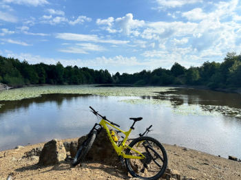
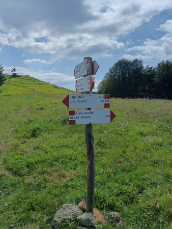
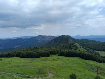
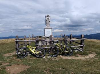
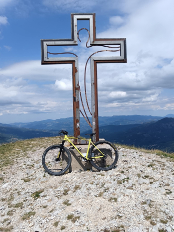
Departure from Ferriere (PC), loop itinerary. From the village proceed toward Canadello, past which take the forest road to the left toward Lakes Moo and Bino (marked), continuing to Prato Grande at the base of Mount Ragola. From there downhill to the junction for Pertuso take a left to Zovallo Pass. Follow the SP654R for a few km in the direction of S. Stefano d'Aveto. One km before the Tomarlo Pass on the right you take the CAI marked hiking trail that leads to Monte Bue reached which you continue to Monte Maggiorasca.

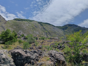
You descend on a trail in the direction of Monte Martincano until you reach Prato della Cipolla. You then ascend to Groppo Rosso, descend into Valle Tribolata along the base of Ciapa Liscia. Then go up the path that leads to cross the road to Torrio, which you follow for a few hundred meters until you reach (on the right) the attack of the path to Mount Crociglia. From the summit of Crociglia you descend to rejoin the trail and continue to Monte Carevolo. From the summit of Carevolo you finally intercept the path to Passo del Mercatello reached which with SP50 you finally descend to Ferriere. Challenging with hand-held sections both uphill and downhill.


Download our free mobile app to send this route to your Garmin device or to navigate it on OSM maps. Android - iOS
Local weather
°C
°C
°C
°C
°C
°C
°C
°C
°C
°C

Graph

Nearest Routes

2023/10/23
- Italy - Emilia-Romagna, PC
miciolo
(45)
31,87 km
Km
+1 130 mt
Vertical meters
Route difficulty
Landscapes
2023/04/01
- Italy - Emilia-Romagna, PC
pozzoligio
(93)
49,83 km
Km
+2 100 mt
Vertical meters
Route difficulty
Landscapes
2024/02/05
- Italy - Emilia-Romagna, PC
pozzoligio
(93)
46,12 km
Km
+1 700 mt
Vertical meters
Route difficulty
Landscapes
2022/11/07
- Italy - Emilia-Romagna, PC
pozzoligio
(93)
58,83 km
Km
+2 161 mt
Vertical meters
Route difficulty
Landscapes
2022/11/04
- Italy - Emilia-Romagna, PC
pozzoligio
(93)
59,32 km
Km
+1 994 mt
Vertical meters
Route difficulty
Landscapes
2023/03/06
- Italy - Emilia-Romagna, PC
Antosangui
(114)
16,04 km
Km
+473 mt
Vertical meters
Route difficulty
Landscapes
2023/07/30
- Italy - Emilia-Romagna, PC
miciolo
(45)
30,14 km
Km
+1 340 mt
Vertical meters
Route difficulty
Landscapes
2023/03/07
- Italy - Emilia-Romagna, PC
Antosangui
(114)
8,87 km
Km
+479 mt
Vertical meters
Route difficulty
Landscapes
2025/06/29
- Italy - Liguria, GE
Antosangui
(114)
28,85 km
Km
+1 045 mt
Vertical meters
Route difficulty
Landscapes
2023/02/28
- Italy - Liguria, GE
Antosangui
(114)
39,07 km
Km
+750 mt
Vertical meters
Route difficulty
Landscapes

1 Comments