Italiano
 Deutsch
Da Madesimo agli Andossi e lago d'Emet

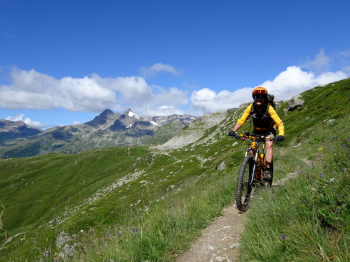
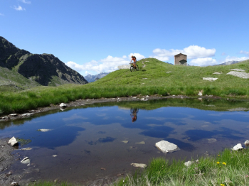
Very scenic itinerary starting from the snowmobile parking area in Madesimo that takes us to the beautiful Lake d'Emet and some unnamed small lakes on the slopes of Mount Spadolazzo. We ascend on dirt tracks with the steepest sections in concrete on the bucolic Andossi plateau where we pass the small lake of the same name until we reach the junction with the dirt road that climbs from Montespluga. If you don't like pushing or shouldering the bike descend from there, otherwise continue in the direction of Rifugio Bertacchi and Lago d'Emet as we did.
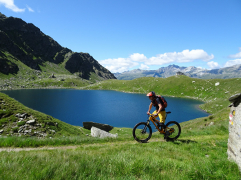
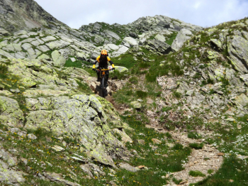
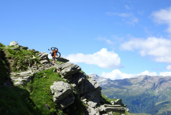
The trail to Rifugio Bertacchi and Lake on the way out is only minimally cyclable and you need to budget for about 1/2 hour of not difficult shoulder biking as the trail goes practically level. Of note is a short exposed section with chains where care must be taken especially if you cross hikers. When we arrive at the beautiful Lake d'Emet we descend toward the old huts and begin to climb on the beautiful path always with the bike on the shoulder or pushing until the slopes of Mount Spadolazzo. Here there are a couple of unnamed small lakes that deserve this short stretch on the shoulder.
Unfortunately, the morphology of the terrain does not allow us to build a loop tour and we must perforce retrace our steps by retracing the path made on the way out. We also retrace the exposed sections with chains made earlier until we cross on the left the path that descends to Madesimo. The trail is very varied, alternating flowing and more technical sections until the end of the loop.
Worth mentioning:
- there are several cattle grazing and there are many "gates" with electric wire to open and I recommend to close.
- some short sections of the trail are covered with the "mines" of the cows and it is not easy to pass.