Anello cicloalpinistico Totem di Parè, monte Parè, cima Blum
Very nice loop cycle-mountaineering tour, despite the relatively low altitude and moderate elevation gain. Allows you to ride a part, the only one affordable by mtb, of the long ridge that from the summit of Bares, an offshoot of Presolana, reaches the Crapet peak before rapidly degrading into the plain of Clusone. Very impressive sunny environment with great views. Trails in excellent condition, well maintained.
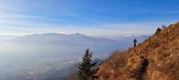
Trail suitable for experienced mountaineers with good balance adept at leading the bike (narrow and exposed sections of trail, presence of grassy slopes also very steep CAUTION!). Difficulty S3, max S4.
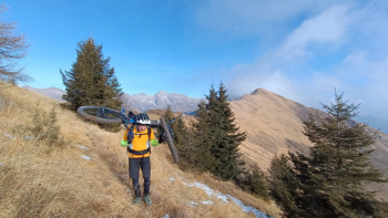
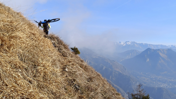
Pedalable ascent 60 - 65%. Departure from Rovetta, parking at the sports center. First part pedalable. Climb to Aprico locality, pass Pospe. In the central part you go around cima Corno dell'Orso, alternating push-shoulder sections with pedalable sections (WARNING! Narrow and exposed section of path). In the final part you ride, bike on your back, the long, narrow Vipere trail that, cutting a very steep grassy slope (WARNING!), ends on the sharp ridge north-northeast of the Totem di Parè peak. You will soon reach the curious pole on the summit, at an elevation of 1679 m, still carrying the bike on your back.
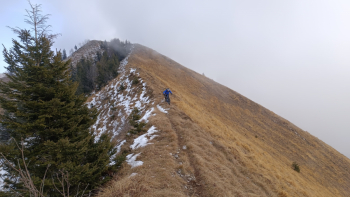
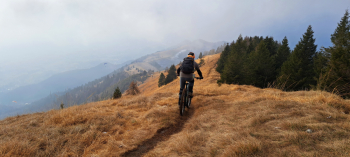
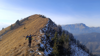
The descent is varied and very enjoyable. Start along the sharp, exposed ridge (CAUTION!) to below Cima Parè, climbing a little to reach the cross at 1642 meters. Again ridge but this time wider and "quieter". Past Blum, climb the wide grassy slope for about fifty meters, reaching the summit of the same name, at 1293 meters.
The final part of the descent into the woods has several hairpin bends, is rocky, in places with roots, with some rather challenging and elegant technical passages, also steep, a hoot until the first houses of Clusone.


 Italiano
 Deutsch
