Sant'Amate
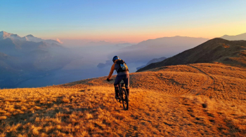
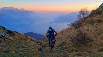
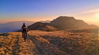
Itinerary with spectacular views of Lake Como. Develops on the northwestern shore of the Lario. Ascent on asphalt and dirt road to Sant'Amate (1623 meters). A small church, not visible except in the very last meters before the watershed, offers a small shelter and is an ideal stopping point for a snack with breathtaking views of the Lario and the first mountain spurs of Valtellina and Valchiavenna. The well-marked descent path starts practically in the vicinity of the church itself. It begins with a sequence of rather narrow switchbacks. This is followed by a traverse up a steep grassy slope where it is advisable to pay a little attention, after which you pass a sort of nozzle beyond which the trail continues alternating technical passages with more flowing sections. At an altitude of 1100 meters you enter a dirt road. Follow it for a few meters downhill and locate the continuation of the path on the right. In a short time you reach the first houses of Monti di Breglia and from here you reach the paved road. Follow it for about 200 meters until you spot, on the left, the continuation of the path, which will intersect the road again after about 200 meters. Again a short stretch for asphalt (about 50 meters) and this time we will locate the continuation on the right. Intersecting the main road again, continue downhill for about 250 meters until you spot on the right, near a left-hand bend, the start of a wide path which, after intersecting the asphalt road one last time, leads to the village of Breglia where it ends near a fountain. Now take the cobbled lane on the left, which soon joins another lane that we will take to the left in a northerly direction (Via dei Monti Lariani - path No. 3 to Carcente). After an initial up and down section, the path rapidly loses height in the woods until, after a last mostly flat section, it reaches the houses of Carcente (670m approx.). Now follow the signs for Acquaseria, and passing through the villages of Semnago and Pezzo, finally reach the state road and take it in a northerly direction, thus returning to the starting point of the itinerary.
N.B. The downhill section between Carcente and Acquaseria does not follow an obligatory route, as for long stretches you will be following the lanes and stairways characteristic of the villages in this area. Attempting to describe a precise itinerary among these mazes of lanes is virtually impossible, and in any case would generate more confusion than anything else. However, the villages are connected by ancient mule tracks, easily identified with a minimum of intuition and by following the sporadic signs. Take it as part of the game!
[Description by Muldox, photo by Filippo Macalli].


 Italiano
 Deutsch