Monte Falò e Monte Mottarone - sentiero Agrano express
This is a fairly long route, about 30 km with about 1400 meters of total elevation gain, about 40% of which is dirt and the rest asphalt.
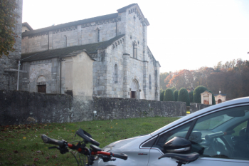
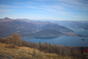
You start from Armeno, there are 2 parking lots near the church of Santa Maria Assunta. You turn right for Coiromonte and in about 6 km with two climbs you reach the hamlet. Before descending, in front of a farmhouse, on the left you take a narrow road called the alpine pasture walk, which soon becomes a forest road and from which you can see Mount Mottarone with its antennas. A must detour is to Mount Bonfire, three knolls with views of Lake Maggiore. Take the path again to the junction with Alpe Nuovo, continue left until it intercepts the road to Mottarone, with another 6 km of asphalt you reach the summit. Magnificent view of Lake Maggiore, Isola Madre, some Swiss peaks already whitewashed.
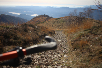
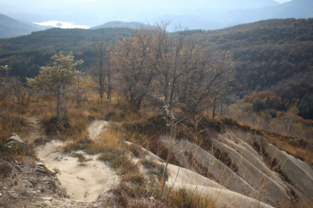
Descent on the repeater side, arrived at the level you take the small road with a first section of rocky path, then grassy stretches, view always on Lake Orta. Agrano express is a varied trail, after the grassy sections there are short sections dug with boulders, but mostly very flow with compact, earthy bottom, few stones, few roots, there is a clay section with very good grip. After crossing the Pesconetto creek it's up some hairpin bends on forestry. A bit laborious the track at the Pescone creek, contrary to other passages the bottom with foliage and the thick forest require attention in following the track. Beautiful and moderately technical is the section near the Pesconetto stream, before and after the intercepted asphalt road. From Pescone you return on asphalt to Armeno.
Departure from Agrano, Church of Santa Maria Assunta.
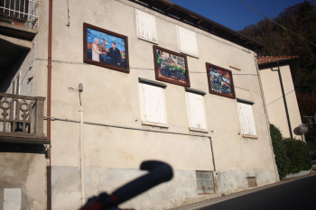
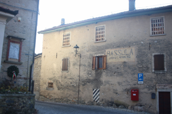
Curious murals in Agrano
Trail that goes around Mount Falo'
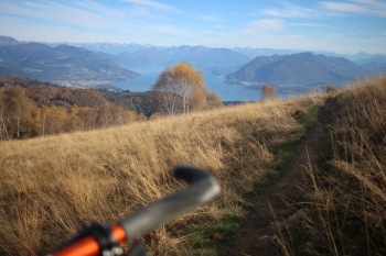
Monte Falo'
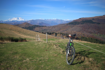
A view from Mount Mottarone, Verbania, Cossogno, Miazzina. Mount Zeda, Pian Cavallone
Agrano express, initial stony section, follows nice grassy section
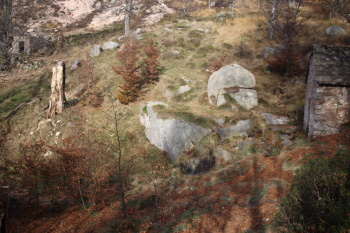
Alpe Celle
Agrano express, clayey section with excellent grip


 Italiano
 Deutsch
