Val del Gleno dal passo Bondione
Extremely challenging and cycle mountaineering tour with exaggerated views. Ascent to Curò, then to the Bondione pass to descend from the very long Val del Gleno, ascent to the Manina pass to then descend on Valbondione. Tour of 3000 meters of elevation gain shortenable to 2100 with this trail.
Start from Valbondione, where shortly after the road becomes a fairly challenging dirt road in mtb. At altitude 1400 (after 500 meters of pedaling) the climb becomes too steep and rocky to be pedaled in mtb, while in Emtb you pedal to the refuge at altitude 1900.
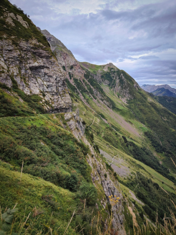
At the refuge (water point) continue on easy pedalable trail to the junction to Val Cerviera, from here it is 200 meters on the shoulder and about 100 pedalable to the junction to Val Cerviera lakes.
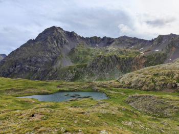
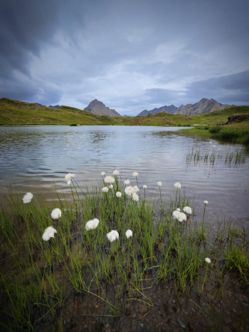
We continue on the optional stage that in about 100 meters almost all pedalable allows us to reach the Val Cerviera lakes (2320 meters), set in the fantastic valley of Treconfini and Recastello. The King of the Orobie Mountains (Pizzo Coca) is reflected in the lakes. We turn back at the junction to divert to the Bondione Pass (2250 meters). There would be a path up from the lakes avoiding going back but it was too high on the ridge and I preferred to take a safer route. Followed by 250 meters on shoulder on manageable trail and another 100 on very vertical and challenging scree At the pass below Cima di Alice (2600 meters) we climb over if less steep and easily manageable trail to Bondione pass at 2650 meters.
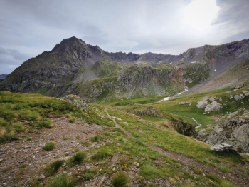
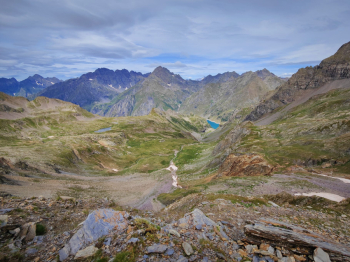
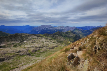
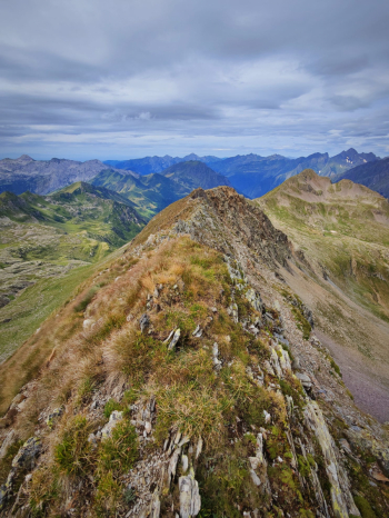
From here the views are fantastic but I recommend continuing on foot on an experienced hiker's trail to Treconfini Peak at 2800 meters.
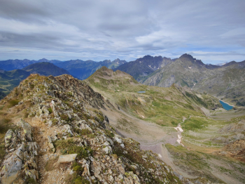
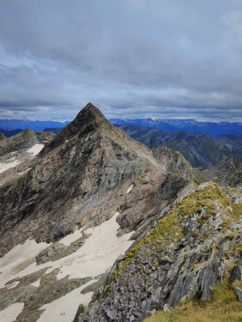
We retrace our steps, and at this point we can descend directly to Lizzola on this trail avoiding 900 meters of elevation gain or from Val del Gleno.
Descent from Val del Gleno
First 80 meters non-pedalable, then descend on pratone parallel to a scree that would be too vertical to be pedaled. Short pedalable and non-pedalable sections follow until a very short equipped section that is not too challenging. We continue on barely visible track until we join (at elevation 2250) the trail coming down from Belviso Pass. The trail becomes clearly visible and the descent finally fun and continuous, it is a medium S3 with some S4 passages. After about 5Km we arrive at the famous Gleno dam (1550 meters) where there is a nice little kiosk.
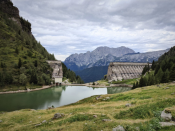
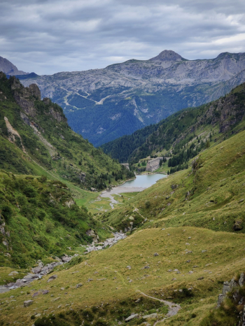
We keep to the right and go down the trail to Bueggio (water point shortly after the start) the trail is an S4, an extremely technical and arm-busting rock garden but also super fun. Arriving at the junction to Nona I recommend avoiding continuing on Bueggio (trail S1). We climb up from Nona to Manina Pass on a fairly challenging beaten path, last 100 meters before the pass not very rideable. We continue on rideable trail and then by a nice S3 trail. We continue following the trail and then down the last fantastic descent of the Carbonai (S3), all hairpin bends on pine needle bottom. We finally reach the valley (water point near the parking lot) to return to the car by comfortable slightly downhill road.
Personal notes: outstanding tour but also extremely challenging, worth doing once but if I really wanted to do it again I would try going directly down to Lizzola from CAI 322 that descends from the Bondione valley to Lizzola (definitely shorter tour from about 2100 meters of elevation gain).
Personal rating: views 10/10; descents 9/10
MTB: yes
EMTB: not recommended (although I did it with a 20Kg light)
Elevation gain: 2800m D+ +200 if you hike up to Treconfini
Duration: about 12h
Exposed: nothing in particular downhill, uphill many sections of those on the shoulder
Draining: it would seem so
Water points: Valbondione, Rif. Curò, various streams, Pipe after Gleno dam, Nona





 Italiano
 Deutsch

