
 Italiano
 Deutsch
Schilpario, Epolo, Campelli, Vivione, Busma, Valli
Loop cycle-mountaineering tour starting and ending in Schilpario, at an elevation of 1124 meters, which allows you to admire the beauty of the upper Val di Scalve (parking at the access to the cross-country ski slope, skating rink).
The ascent to the Vivione Pass is zero asphalt but involves that the first 425 meters of positive elevation gain are almost all pushing and very steep, first along a narrow road with a loose, impassable cobblestone bottom and then on a concrete road so steep it looks like the launch pad for SpaceX. You are warned.
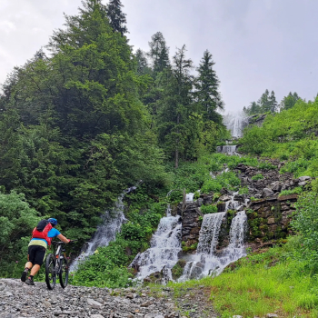
Upon reaching malga Epolo,1550 meters, a very long eat-and-drink traverse begins on a forest trail, much of it riding but there are often short sections to be done on foot. The trail ends at Baracca Rossa, below the Bagozza refuge (of course you can avoid this section by pedaling along the Vivione paved road to Baracca Rossa). We immediately abandon the bitumen to climb up along the wonderful Campelli basin, until just before the pass of the same name, where we turn left reaching the Giovetto pass. Following the signs for the Vivione pass, by beautiful trail, first uphill (short push section) and then downhill we reach the pass and the refuge of the same name.
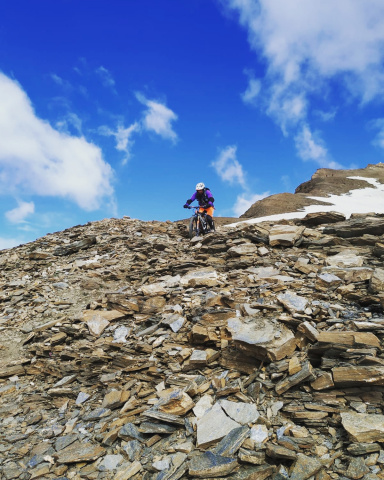
After a rest we continue along the dirt road that leads from the small lake to the Gaffione hut. From here we follow the trail that with a fairly short push-bike section leads to the highest of the small lakes in the Valleys, which dries up in dry periods. At a post with indicative signs, on the left begins the trail that climbs vertically (shouldering) to the ridge of Busma, following it we quickly reach the summit, 2150 meters.
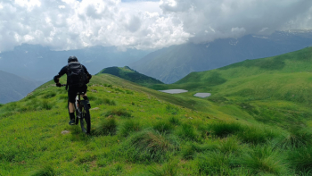
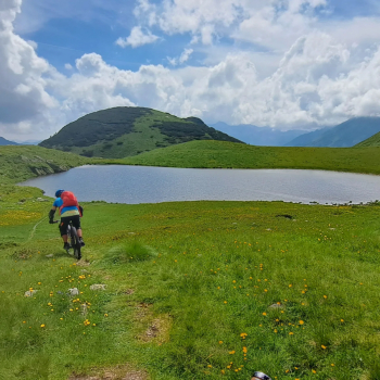
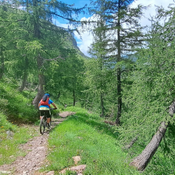
Admiring the majestic view we prepare for the descent. Returning to the small lake we follow the path that passes by the other two, then begin to descend in the direction of Schilpario. Descent not to be underestimated, especially in the first part, the path is in places dug and cuts a very steep slope (CAUTION). Entering the forest among rocks, roots and pine needles we arrive fulfilled at the bottom of the valley, near the small church of Santa Elisabetta and the large parking lot.


