Monte Colonna e Punta Zannella
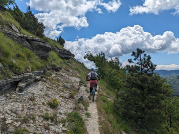
Among the many possible combinations in upper Mugello, today we decide to combine two beautiful ridges with starting base Crespino del Lamone. From the small village we climb following the SR302 that leads to Passo della Colla where we continue uphill towards Palazzuolo sul Senio. Arriving near Prato all'Albero we leave the road to enter the beautiful woods. We follow the beautiful and wide forest road until we meet CAI 505, which, however, we immediately abandon to follow the GEA. The first ascent is practically over and wearing protective gear we begin the first part of the descent from Archetta to Prati Piani (CAI 531).
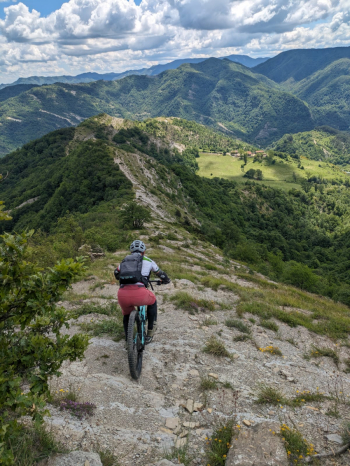
From the latter we continue in the direction of Monte Colonna always on the same path, which we leave only for the stretch below the summit, which we avoid this time because even if it takes only a short stretch of backpacking bike, it is not worth the effort being also downhill a stretch with little or no bikeability. Having then circumvented the summit we again recover the ridge(CAI 531A) to resume the descent to Crespino. Back at the starting point we go up again the same road made earlier, abandoning it at Casaglia, where between push trails we reach a crossroads of paths including the beautiful CAI 547.
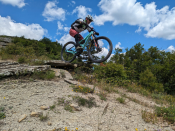
Following a nice, largely rideable traverse we again reach Prati Piani, from where we will face the second ridge of the day that transits Punta Zannella. The trail does not have excessive difficulty but being somewhat hidden by tall grass and having continuous changes of direction does not allow mistakes being also rather narrow. Overall a very enjoyable descent that leaves the possibility of interpretation depending on how you want to approach it.


 Italiano
 Deutsch