HOME RANKINGS CHALLENGES ROUTES NEAR ME PLANNING SEARCH LOGIN
Italy - Trentino-Alto Adige/Südtirol, BZ
2024/05/29 15:17:47

Formazon e Ulfas

13 Downloads
1
 
Share
Author
nonnocarb
(319)
Place
Italy - Trentino-Alto Adige/Südtirol, BZ
Km
65,56 km
Elapsed time
05:08:53
Vertical meters
+2 000 mt (308 - 1878)
Route difficulty
Landscapes
Last update
2024/05/29 16:56:34
Comments
3
Description

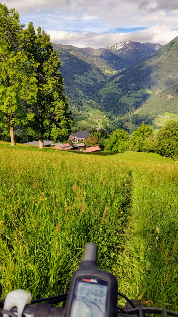
The Formazon alpine hut is located in a narrow side valley of the Passeiertal valley, tough climb to get there but truly beautiful high mountain environment!

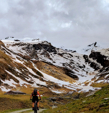
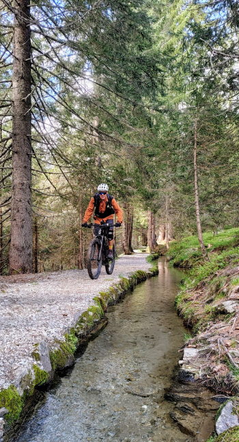
The downhill trail is then very enjoyable, though not easy because it is bumpy. I connected the tour with the Ulfas hut with its beautiful water trail, a route I had not done for many years. To connect the two routes you have to do a small 10-minute push uphill (5 on the ebike).

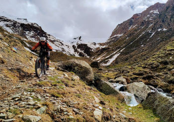
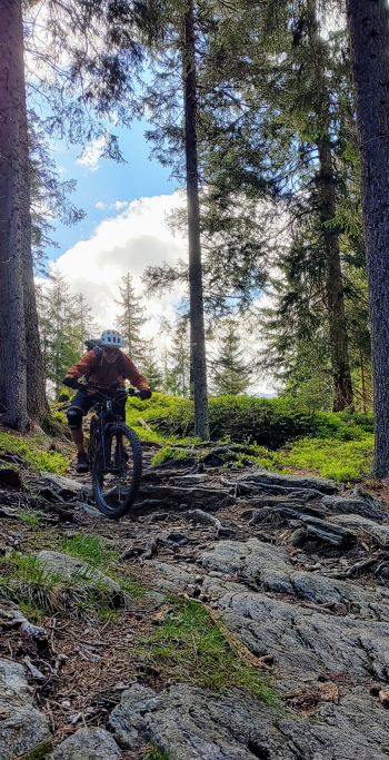
The result is a challenging but very enjoyable route, 66 km and almost 2000 meters of elevation gain, with the final trail, 3, down to St. Martin in Passeier, steep and bumpy, engaging everything there is to engage: bike suspension, arms, legs, experience and head!

Departure from Merano train station, free parking; if you want to go a few miles less, you can start from San Martino in Passiria, although the elevation gain decreases a little.

The route was done by ebike, with which you can also follow part of the steep trail uphill, if you do it by regular bike just follow the hairpin bends of the asphalt road.

Download our free mobile app to send this route to your Garmin device or to navigate it on OSM maps. Android - iOS
Local weather
Gio 00:00
26 °C
Gio 12:00
34 °C
Ven 00:00
26 °C
Ven 12:00
34 °C
Sab 00:00
28 °C
Sab 12:00
33 °C
Dom 00:00
25 °C
Dom 12:00
31 °C
Lun 00:00
24 °C
Lun 12:00
32 °C

Graph

Nearest Routes

2023/03/01
- Italy - Trentino-Alto Adige/Südtirol, BZ
nonnocarb
(319)
49,83 km
Km
+950 mt
Vertical meters
Route difficulty
Landscapes
2022/11/04
- Italy - Trentino-Alto Adige/Südtirol, BZ
nonnocarb
(319)
32,17 km
Km
+1 852 mt
Vertical meters
Route difficulty
Landscapes
2023/03/06
- Italy - Trentino-Alto Adige/Südtirol, BZ
nonnocarb
(319)
32,34 km
Km
+1 500 mt
Vertical meters
Route difficulty
Landscapes
2023/03/01
- Italy - Trentino-Alto Adige/Südtirol, BZ
nonnocarb
(319)
86,66 km
Km
0 mt
Vertical meters
Route difficulty
Landscapes
2023/03/04
- Italy - Trentino-Alto Adige/Südtirol, BZ
nonnocarb
(319)
71,35 km
Km
+1 830 mt
Vertical meters
Route difficulty
Landscapes
2026/04/09
- Italy - Trentino-Alto Adige/Südtirol, BZ
nonnocarb
(319)
63,04 km
Km
+3 100 mt
Vertical meters
Route difficulty
Landscapes
2022/11/01
- Italy - Trentino-Alto Adige/Südtirol, BZ
nonnocarb
(319)
42,55 km
Km
+2 157 mt
Vertical meters
Route difficulty
Landscapes
2024/08/22
- Italy - Trentino-Alto Adige/Südtirol, BZ
nonnocarb
(319)
74,92 km
Km
+2 500 mt
Vertical meters
Route difficulty
Landscapes
2024/08/25
- Italy - Trentino-Alto Adige/Südtirol, BZ
nonnocarb
(319)
61,04 km
Km
+2 300 mt
Vertical meters
Route difficulty
Landscapes
2025/11/09
- Italy - Trentino-Alto Adige/Südtirol, BZ
nonnocarb
(319)
74,74 km
Km
+2 200 mt
Vertical meters
Route difficulty
Landscapes

3 Comments