2024/05/13 22:32:09
Val d'Ultimo
Author
Place
Italy - Trentino-Alto Adige/Südtirol, BZ
Km
94,24 km
Elapsed time
06:01:39
Vertical meters
+2 400 mt (278 - 1870)
Route difficulty
Landscapes
Last update
2024/05/13 22:32:09
Comments
Description
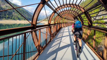
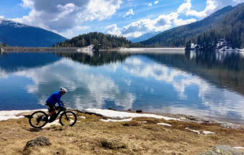
Itinerario molto lungo e impegnativo, ma anche molto divertente e panoramico, con partenza da Merano e arrivo in cima alla val d'Ultimo, al lago di Fontanabianca.

La salita è tutta asfaltata, mentre la discesa sfrutta tutti i sentieri e le strade forestali possibili, nessuna particolarmente impegnativa ma tutte molto divertenti.

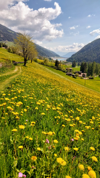
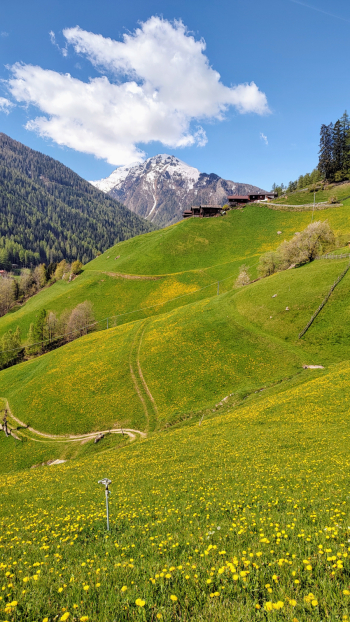
Panorami bellissimi sulle cime circostantie sui verdissimi prati, che in tarda èrimavera si tingono di mille colori. Varie possibilità di ristoro lungo il percorso.

Meglio partire un pò presto, possibilmente alle 7, al massimo entro le 8, per non avere troppo traffico sulla strada, specialmente nella parte bassa fino a San Pancrazio.

Local weather
Today

27 °C
Tonight

17 °C
Tomorrow

24 °C
Tomorrow night

17 °C
Tuesday

22 °C
Tuesday night

13 °C
Graph
Nearest Routes
65,11 km
Km
+1 800 mt
Vertical meters
Route difficulty
Landscapes
105,14 km
Km
+3 200 mt
Vertical meters
Route difficulty
Landscapes
37,99 km
Km
+1 520 mt
Vertical meters
Route difficulty
Landscapes
48,57 km
Km
+1 550 mt
Vertical meters
Route difficulty
Landscapes
93,54 km
Km
+2 520 mt
Vertical meters
Route difficulty
Landscapes
2023/03/04
- Italy - Trentino-Alto Adige/Südtirol, BZ 58,93 km
Km
+3 000 mt
Vertical meters
Route difficulty
Landscapes
52,87 km
Km
+1 754 mt
Vertical meters
Route difficulty
Landscapes
33,38 km
Km
+1 600 mt
Vertical meters
Route difficulty
Landscapes
43,62 km
Km
+1 615 mt
Vertical meters
Route difficulty
Landscapes
61,03 km
Km
+2 156 mt
Vertical meters
Route difficulty
Landscapes


 Italiano
 Deutsch

