Italiano
 Deutsch
Alta Val Trebbia MTB Tour
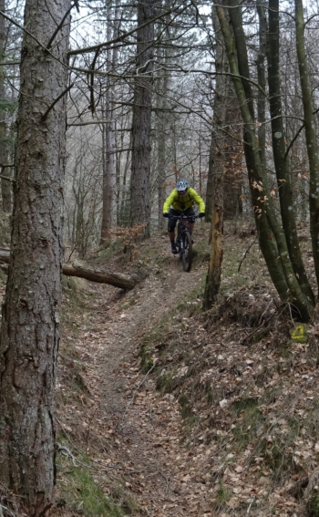
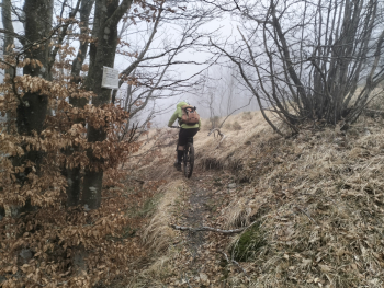
This cycle tour condenses, in our opinion, the best that can be done in this remote area on the border between the provinces of Piacenza and Genoa. The Alta Val Trebbia Bike Area is located between the municipalities of Ottone Gorreto Rovegno and Fontanigorda. It is a very wild area with lunar and very draining terrain, where local trailbuilders have managed to create a trail network in addition to the existing CAI network suitable for mtb. All natural trails with no special work like pistes, but flowing and very wild.
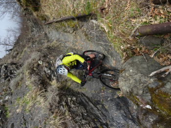
For today's ride we start from the remote village of Gramizzola, very few parking lots, where we climb the infamous dirt road to Mt. Dego. 6 km of hard passion where in the final we reach the Dego hut on the hard-pushing trail 127.
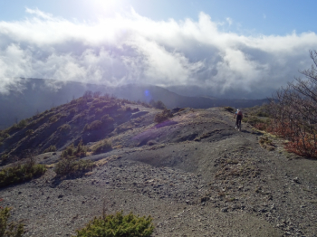
Now a long pedaled and somewhat pushy section on the Trebbia/Aveto watershed ridge. In fabulous surroundings we pass in sequence near Mount Dego, Mount Bufalora, Mount Oramara, Rifugio Foppiano, Montarlone, Roccabruna and Mount Gifarco. These last 3 can be climbed but today no due to fog and low clouds as well as intense wind, we desisted.
At Gifarco Pass rather than take the more beaten path, we decide to explore a possible new descent path. We continue and shortly we are at Passo del Fante, protections and down to Fontanigorda on arduous and very beautiful and wild trail to be done all in the saddle. Successful exploration.
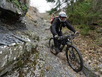
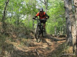
Now we go up towards Crescione first on asphalt then on dirt road, we will do it 2 times. On the first ascent we head for the second descent of Vallersone or dei Cavalli. A few words to describe this trail: beautiful, wild and non-trivial. We go back up again from Crescione but at one point we take a detour that catapults us pushing through the woods on the slopes of Montarlone. Short break we put on our protections and down! Full version Ciappa descent. Beautiful flowing trail in a very wild environment with some pretty tough sections up to Foppiano. The second part more wild and hostile very beautiful.What places! We arrive in the Rettagliata area and after a steep final climb we are at the car.
Only regret today the low clouds that did not allow us to climb the 3 coveted peaks, we will be back! Strenuous ride, 95% on dirt and trails, suitable for differently inclined downhillers who don't like smooth prepared trails, but wild and non-trivial sliding ones.