
 Italiano
 Deutsch
Parazzuolo San Colombano

Predominantly downhill itinerary that allows you to connect Val d'Aveto with Fontanabuona while keeping your wheels on dirt roads as much as possible.
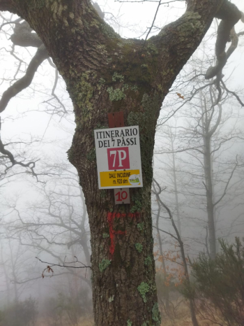
Start from Parazzuolo and follow the asphalt road to Ventarola, once you pass through the village and fill your water bottle at the very cool fountain you continue on dirt road and cross the stream several times. This brings you to a picnic area, take a right and start climbing in the direction of Bocca di Feia. Some sections require getting off the bike to put it on your shoulder or push it, both because of the gradient and the loose ground. When you reach the pass you can make a quick detour to the left to get to the Ramaceto chapel and then descend, in any case continue straight on trail that begins to descend, keep left at the first fork and then left again to join the 7-pass route.
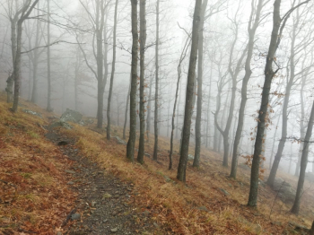
We continue downhill, if you catch a day like this the forest looks spooky, otherwise the view of the valley below begins to open up.
You pass Pian dei Baci and finally reach Romaggi Pass, here you cross the road and then take the trail again, all along the ridge of Mount Pissacqua. When you reach the picnic area you turn left onto the Chestnut Tree Trail and then right onto the High Mountain Trail. When you reach the asphalt road, take a right and then, after a hairpin bend, go down to the left on a scarcely visible trail; when you arrive on the road, go left and at a hairpin bend take the last, scarcely visible trail to the right, You end the tour at Maggi, hamlet of San Colombano.
All trails are clean and regularly used, except for the last two that do not see many passes, so they may have some fallen trees on the trail and have the vegetation a bit overgrown.

