San Martino hard
Departure from the parking lot at the Velate-Varese cemetery; for boomers: the writer of romance novels of the last century by the stage name Liala is buried in the cemetery.
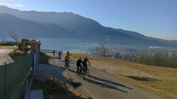
We ride on 310 to Sass Gross, from here we descend by mule track with a sometimes uneven surface with shifting stones, shorter and more fun singletrack to a forestry road that takes us to Orino, now a short asphalt stretch to take a new forestry-sentiero mixed off-road track leading to Cuvio (presence of a couple of trees to bypass or climb over).
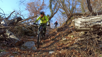
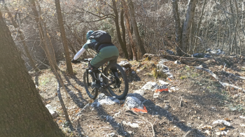
Again asphalt to Cuveglio then towards Duno, with a few cuts on the old mule track, and San Martino, from the little church downhill at the Memorial of the Fallen of the Resistance, then short asphalt and back on the forest road to Arcumeggia to take the L'Aves trail, nice S2 trail but currently very dirty with a tree to climb over. When we reach Alpe di Duno we go up again to take the road taken uphill, to return to Valalta locality where the super descent called DH Valalta (precisely) begins, trail in very good condition with initial steep passage on fixed rocks that I would grade S3+, then follow Nano 1 and 2, first easy part with jumps, then final again S3 also in very good condition. From Cantevria we climb up to Brinzio where we enter the woods to reach Varrò Pass and descend to Rasa along the nice S2 max trail. Final return via Tagliata and the classic mini-toboga.
The DH and Nano trails are maintained by the Mufloni of Cassano Valcuvia. With wet ground some passages can become slippery.


Traveled on 16/12 with e-bike.


 Italiano
 Deutsch