Monte Maddalena sul n.11 e n.6
Here we are again raiding in the province of Brescia, or rather in the beautiful town that lies at the foot of the famous Monte Maddalena. A mountain that is not very high but offers a thousand cues for truly unique mtb tours. And in this itinerary that we classify as suitable for everyone you will learn to appreciate our land.
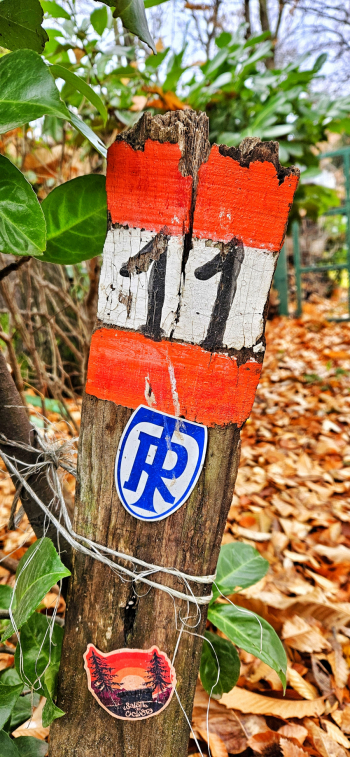
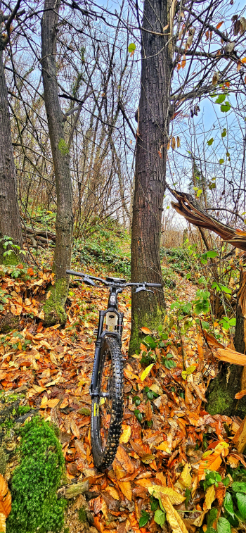
We leave the car at the foot of La Maddalena, near Borgo Whurer, and head on asphalt toward the town center. We climb for a first bit on cobblestones then back on asphalt to the St. Gotthard and then again until we reach the Cavrelle restaurant. From here we prepare for one last stretch of transfer before starting the descent. We will have to intercept trail #11 which will be super nice at times flowing and at times slightly rocky but nothing complicated. We will arrive in that of Nave. Now we will have to go back up to the top and we will do it facing the Muratello with important slopes but on secondary asphalt all rideable. Once we reach Grillo we continue up to Cavrelle. We descend in the direction of the city center and after about 200 meters watch out on the left starts trail No. 6. Also this trail will be easy, flow and nice. We will cross the paved road a couple of times and end up at St. Gotthard. From here last cobblestone section of the San Gaetanino then back to the starting point. All easy and above all all exciting.
RECOMMENDED ROUTE FOR MOUNTAIN BIKE and/or E-BIKE ALL MOUNTAIN.
NB: At the time of inclusion this ride is all doable without any particular problems. We disclaim any responsibility for any inconvenience due to lack of maintenance of the trails or deterioration of the trails due to external and/or natural agents and incorrect evaluation of the tour.


 Italiano
 Deutsch