
 Italiano
 Deutsch
2023/11/18 20:36:47
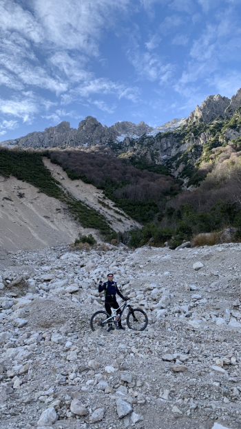
Traversata bassa delle Grigne
Author

Place
Italy - Lombardia, LC
Km
22,98 km
Elapsed time
05:02:44
Vertical meters
+1 099 mt (674 - 1375)
Route difficulty
Landscapes
Last update
2023/11/19 11:02:39
Comments
Hotels
Description
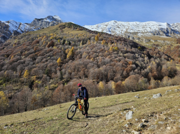
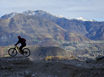
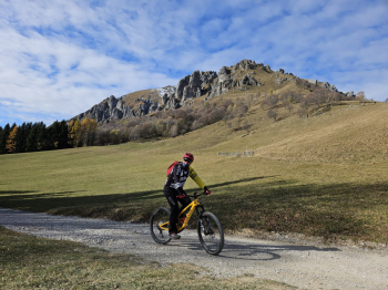
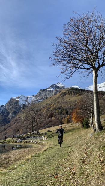
Departure from Ballabio, ascent on asphalt to Piani Resinelli (700 meters of elevation gain), then low Grigne traverse to Alpe Cova. The traverse is a nice up and down never too challenging. To reach Alpe Cova there is a small piece with bike on the shoulder but nothing impossible. From Alpe Cova (after lunch) we descend a nice technical first trail. Then we encounter several small flow traverses, a final micro climb and then down the Muscera DH trail that we take from the middle. Finished the trail, small descent on asphalt, then bike path and provincial road back to Ballabio.
Local weather
Thu 00:00

19 °C
Thu 12:00

26 °C
Fri 00:00

21 °C
Fri 12:00

25 °C
Sat 00:00
22 °C
Sat 12:00
28 °C

Graph
Nearest Routes
26,58 km
Km
+800 mt
Vertical meters
Route difficulty
Landscapes
17,92 km
Km
+790 mt
Vertical meters
Route difficulty
Landscapes
12,31 km
Km
+701 mt
Vertical meters
Route difficulty
Landscapes
30,17 km
Km
+1 200 mt
Vertical meters
Route difficulty
Landscapes
14,43 km
Km
+500 mt
Vertical meters
Route difficulty
Landscapes
30,93 km
Km
+1 300 mt
Vertical meters
Route difficulty
Landscapes
2023/02/25
- Italy - Lombardia, LC 36,94 km
Km
+1 450 mt
Vertical meters
Route difficulty
Landscapes
2023/08/27
- Italy - Lombardia, LC 44,40 km
Km
+1 900 mt
Vertical meters
Route difficulty
Landscapes
21,94 km
Km
+1 200 mt
Vertical meters
Route difficulty
Landscapes
53,57 km
Km
+1 450 mt
Vertical meters
Route difficulty
Landscapes