Rifugio Curó - Passo delle Miniere
I had been wanting to bike up to Curò for years but the idea of descending most of the way up was not appealing to me. So here is the difficult but spectacular variant that goes over the Passo delle Miniere and down to Lizzola. Spoiler: if you like comfortable pedaling, this is not the trail for you.
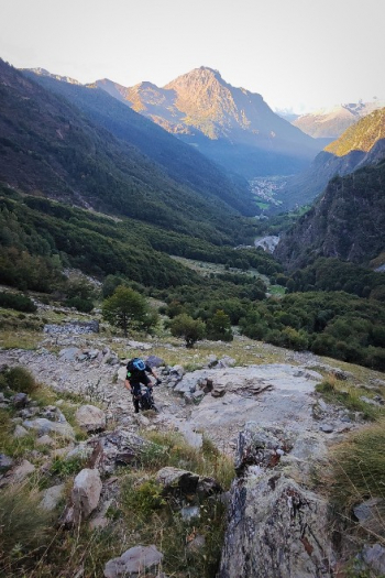
Start from Valbondione with parking outside the village (pay in the village). Go up on a beaten road for many meters that then becomes a very challenging trail for gradient and bottom, but all rideable by emtb.
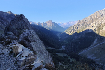
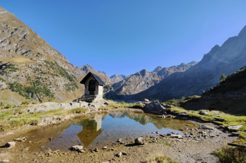
When you arrive at the Curó Refuge, in case you manage to pull out the sword in the rock, you can decide whether to continue to Barbellino or go to England to ask for the throne.
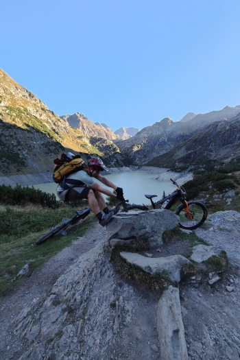
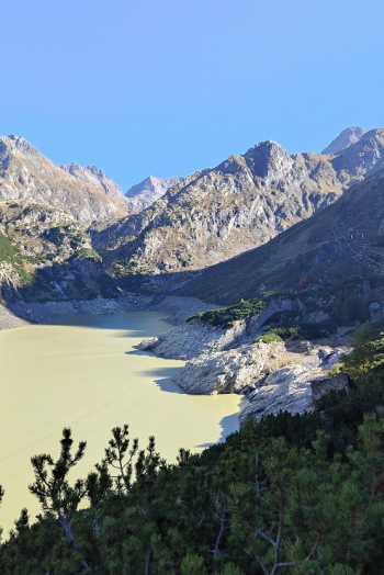
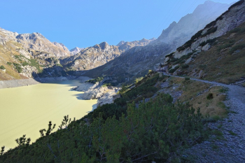
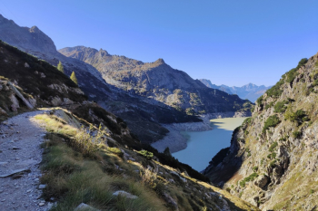
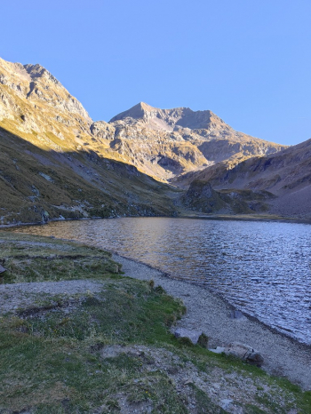
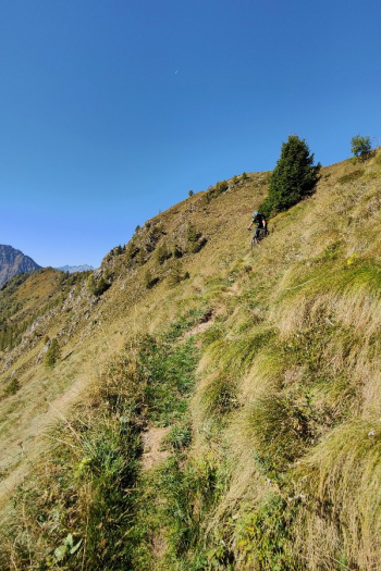
The trail to Lake Barbellino is in a spectacular setting, it lasts 4km of which the first 3 are on an easy pedal, while the last one requires a lot of effort on emtb or a bit of push if on mtb. You retrace your steps towards the last hairpin bend of the climb to the Curó. You deviate towards the Passo delle Miniere, after a few meters of trail gives you the appetizer, with a few sections with bike in hand. You continue with a few pedaled and many pushing sections until you reach the junction of the trail that descends to Lizzola. From here there is almost no pedaling and after at least 3 shoulder sections (about 40m total) you finally reach the Mines Pass (about 180m push in total).
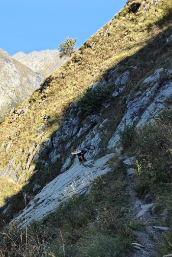
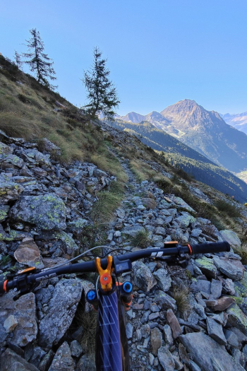
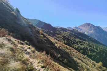
You put on your pads and launch yourself into a beautiful descent at times very technical S3.
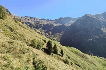
From the lodge you continue into a spectacular forest with flow and technical sections s2/s3 with arrival on Lizzola. From the cable car area it is possible to climb back up to the Mirtillo hut to try the bike park descents. The last descent is the Carbonai trail. This is a seemingly never-ending descent where the nose press takes over. The bottom is in needles and is beautiful, as well as having excellent grip.
It is not a ride for everyone. But it is beautiful for those who love the genre.


 Italiano
 Deutsch
