Rifugio Olmo - Valruzio
Challenging tour, with descent from the Elm only for true connoisseurs. For those who want less headache, however, it remains an excellent trail to get to the Elm. I had long had my eye on the Valruzio and the descent from the Olmo hut, Orux gives it as S4 difficulty and I was quite intrigued. I decide to get to the Olmo but not from asphalt. Orux and a bit of luck do the rest.
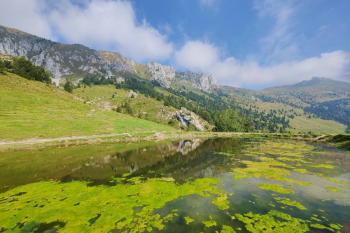
Start from Piario where we calmly connect to Clusone, from here the trail remains high with some up and downs that break the climb, avoidable by staying low. We reach the climb that goes to Blum (water point), and with no small effort (slopes not very pedalable by mtb) we reach the mouth of trail 714A. Here it gets interesting with several very nice ups and downs we arrive at the junction that descends a few tens of meters towards 'bigliardo'. After a nice but short descent we arrive on the Lac road (water point).

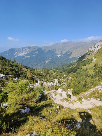
Now begins the long climb, the Presolana is the frame, and with slopes always important leads us to the malga di Campo, from here path to the Olone pass (often pushing for mtb and in some places also for emtb).


You can descend to the Olmo refuge from two trails that both rejoin at the beginning with S3/S4 passes. From the Olmo Refuge the classic trail descends to Cassinelli. But on this one we descend into Valruzio.

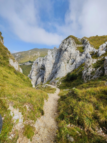
The first 100 meters of the trail seem easy, but soon after the games get interesting: this is a challenging trail, where it is important to handle the bike and nose press well, made even more difficult by the scree and boulder. But with the right handle it gets fun. And where you don't pass you descend.

After 350 meters at the fork Orux says right should be easier I go left. The trail here is much more manageable but still with scree in the trail (personally done all in the saddle).
You pedal up to the Moschel huts and after pedalable climb with emtb starts a nice uphill trail with some technical passages (I think it is a beautiful trail to do backwards).

After several uphill sections begins an eat and drink and finally a noteworthy descent. We come out at Colle Palazzo where we have to climb (rideable with emtb) to below the top of Ba. Here after burning a few feet of downhill prairie we arrive at the DH Jag trail (name of the person who opened it).
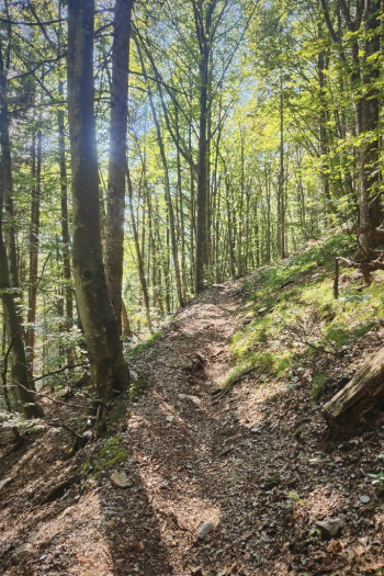
The DH Jag (to be avoided when wet), is a vertical spectacle in the woods, very challenging, made by dirt and roots where there is no shortage of switchbacks and technical passages. At the end of the descent I came down a trail with a thousand switchbacks but too much vertical, so I recommend pulling straight.
As already mentioned this is not a ride for everyone. If with emtb you ride almost everything, with mtb the climbs are often not rideable. The descent from the Elm is very but very technical, and the DH Jag gets challenging especially after 2000 meters of positive elevation gain.


 Italiano
 Deutsch
