Italiano
 Deutsch
Giro del Monte Rosa 5/5: Rif. Ferraro/Colle di Bettaforca/Staffal/Lago Gabiet/Passo Zube/Alagna
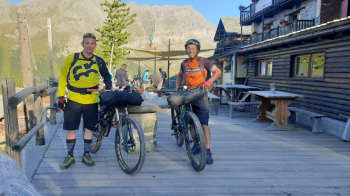
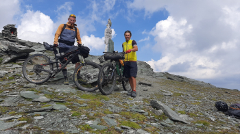
We set off before the sun is up after an excellent breakfast by taking the dirt track from the refuge to Bettaforca Pass (2760 meters). First part steep but rideable, then push from the reservoir up (with a short detour to see yet another small alpine lake). Just before the col you still manage to pedal something.
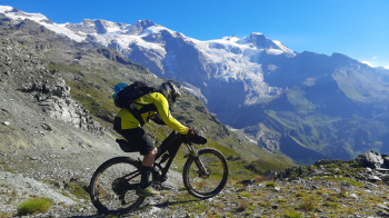
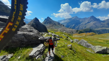
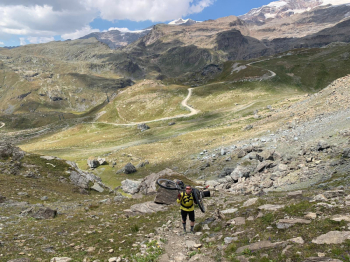
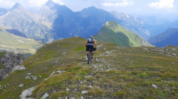
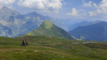
From the pass the descent is on trivial forest track, but we finally see Monte Rosa again in all its glory. Arriving in Staffal short stop to fill our water bottles and we start again taking the Bedemie Consortium Road. First part pedalable and shady in the pine forests, then it turns into killer rattoni to push through in the sun. Higher up instead we also pedal something until we reach Lake Gabiet. Lunch at the refuge and then take the trail to Zube Pass. At times we pedal, then push, while from 2600 meters up the bulk is by bike on the back. We arrive at Zube Pass (2874 meters) with its distinctive trail marker and begin the final descent to Alagna. First part on meadow ridges with views of Torru, then it becomes more technical, gouged and exposed (several FBL sections, others to be done on foot). We reach All'Aple Pianmisura and then descend on grass-bottomed mule track. Last stop at Refuge Zar Senni and then it becomes unevenly stepped trail with stone/rock bottom. Nice shakes we land in the center of Alagna from which we follow the main avenue back to the car. An amazing Tour crossing Valsesia, Val Quarazza, Saastal, Ofutal, Mattertal, Val d'Ayas, Valle d'Aosta, Val d'Otro. A wonderful adventure that we will carry in our hearts and memories forever.
Day 1 | Day 2 | Day 3 | Day 4 | Day 5