Giro del Monte Rosa 4/5: Schwarzsee/Trockener Stegg/Rif.Teodulo/Cime Bianche/Val d'Ayas/Rifugio Ferraro
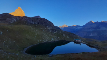
When the sun illuminates the Matterhorn face it is a sight to behold, we take advantage of the first rays of sunshine to let the tent tarp dry a bit and then reset the bike setup.
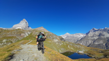
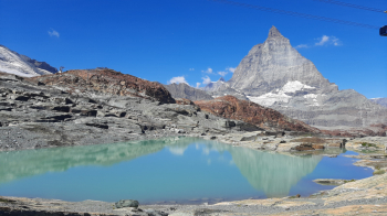
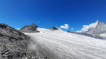
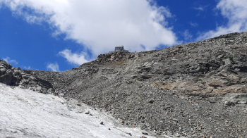
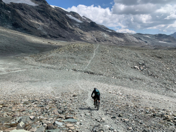
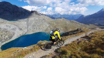
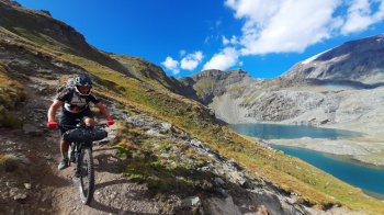
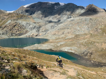
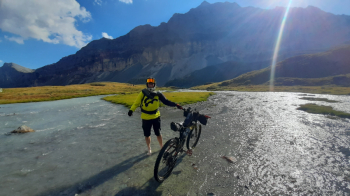
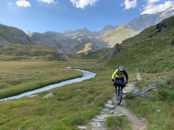
We climb a small piece back to the Hotel, then lose about 150 meters of elevation gain to pick up the TMR and start climbing again. The first part we manage to pedal, then bike push or shoulder to the Trockener Steg (2939 m). From here we take the trail to the Gandeghutte, to try to get as close as possible to the highest point of the glacier while standing on rock. We lose about 50 meters of elevation and continue on glacier. The slope is minimal, the ice even at midday holds well and you can easily push the bike up. After about 2.5 km and 200 m of elevation gain we arrive below Rifugio Teodulo. Here we need to be careful because the trail is not very clear, there are snowfields and holes that create problems, so we have to pass our bikes to pull them up at a particularly difficult point. Once past that we arrive on the trail below the Refuge and walk up. Lunch at the refuge and then we set off again. DIcome down Bontadini side and then we cross the entire Cime Bianche valley to the lake of the same name. We start climbing again pedaling on dirt tracks until we reach almost 3000 meters altitude to reach the Val d'Ayas and from here begins a very long descent with everything from single track to technical rocky with pieces to do on foot. The view is magnificent, below you can admire the Great Lake, immersed in a truly impressive landscape is a succession of valleys cut by blue rivers that sometimes skirt the trail, sometimes require fords. We descend passing Alpe di Tzere (2200 m) to the bottom of the valley from where looking in front of us we can admire the glaciers of Castore and Lys Occidentale. We cross the Torrent de Verraz on a bridge and take the path to the G.B. Ferraro Refuge. After 35-40 meters with the bike on our backs we arrive at the refuge. Since we were out of supplies we decide to have dinner and spend the night there. After a shower and an excellent dinner of Valpellinentze soup we go to bed.
Day 1 | Day 2 | Day 3 | Day 4 | Day 5


 Italiano
 Deutsch