HOME RANKINGS CHALLENGES ROUTES POI PLANNING SEARCH LOGIN
Italy - Trentino-Alto Adige/Südtirol, BZ
2023/08/26 19:06:48

Stoneman giorno 1/2

2 Downloads
0
 
Share
Author
Antosangui
(108)
Place
Italy - Trentino-Alto Adige/Südtirol, BZ
Km
77,84 km
Elapsed time
08:01:42
Vertical meters
+2 510 mt (1075 - 2379)
Route difficulty
Landscapes
Last update
2023/08/27 08:56:24
Comments
1
Description

Stoneman route to complete in two days. I chose to follow the entire ridge from Mt. Elmo instead of following the route proposed by the official Stoneman to do a few less meters of elevation gain and to make a more scenic climb. However, the route description is on the official website.

I would only add the water points: at the top station of the Monte Elmo cable car they are doing some work (August 2023), so the fountain was not there, while at the Sillianer Hut there is right in front of the hut and also after Valgrande before reaching the Monte Croce pass. The last bit of ascent before reaching the Croda Rossa meadows is a family trail with bike ban, I did it pushing given the presence of several people, it can be avoided by following the dirt road and climbing some more.

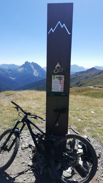
The final descent from the Croda Rossa meadows to the Fischlein Valley would theoretically be forbidden to bikes, but arrived at the place I found no explicit prohibitions and so I followed it, accomplice the late afternoon I did not meet anyone. Below I put photos of the milestones reached.
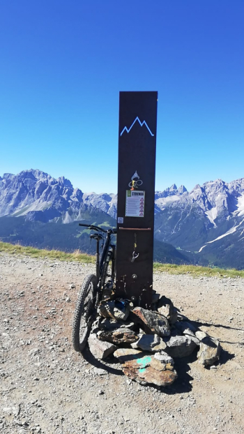
Day 2

Just below the Sillianer hut

Silvella Pass
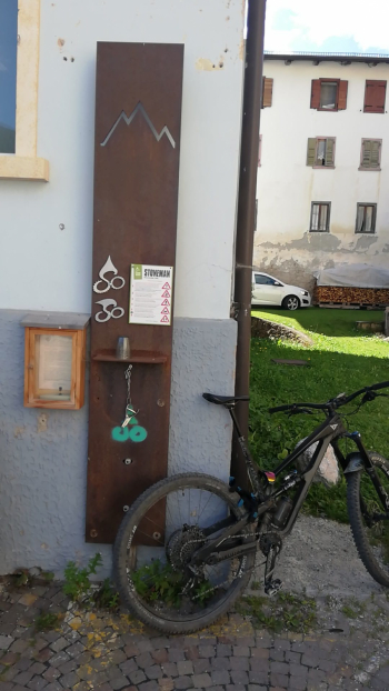
In the center of Padola, in Piazza San Luca, to the left of the church.
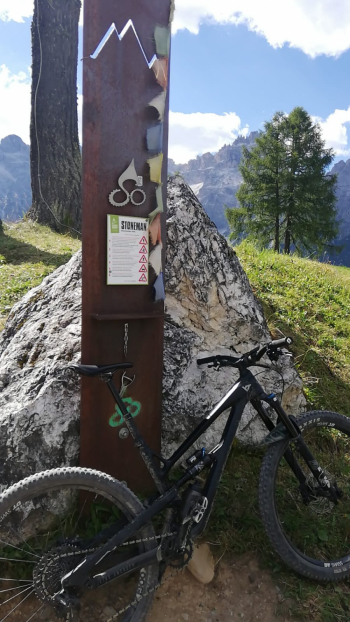
Croda Rossa meadows


Download our free mobile app to send this route to your Garmin device or to navigate it on OSM maps. Android - iOS
Local weather
°C
°C
°C
°C
°C
°C
°C
°C
°C
°C

Graph

Nearest Routes

2023/02/25
- Italy - Trentino-Alto Adige/Südtirol, BZ
Antosangui
(108)
41,26 km
Km
+1 406 mt
Vertical meters
Route difficulty
Landscapes
2023/08/26
- Italy - Trentino-Alto Adige/Südtirol, BZ
Antosangui
(108)
34,13 km
Km
+1 290 mt
Vertical meters
Route difficulty
Landscapes
2023/03/02
- Italy - Trentino-Alto Adige/Südtirol, BZ
Antosangui
(108)
50,14 km
Km
+1 016 mt
Vertical meters
Route difficulty
Landscapes
2023/03/02
- Italy - Trentino-Alto Adige/Südtirol, BZ
Antosangui
(108)
48,67 km
Km
+213 mt
Vertical meters
Route difficulty
Landscapes
2023/02/25
- Italy - Trentino-Alto Adige/Südtirol, BZ
Antosangui
(108)
43,92 km
Km
+1 487 mt
Vertical meters
Route difficulty
Landscapes
2023/03/05
- Italy - Trentino-Alto Adige/Südtirol, BZ
nonnocarb
(292)
51,40 km
Km
+1 210 mt
Vertical meters
Route difficulty
Landscapes
2023/03/05
- Italy - Trentino-Alto Adige/Südtirol, BZ
nonnocarb
(292)
118,42 km
Km
+1 920 mt
Vertical meters
Route difficulty
Landscapes
2023/02/26
- Italy - Trentino-Alto Adige/Südtirol, BZ
nonnocarb
(292)
34,09 km
Km
+1 420 mt
Vertical meters
Route difficulty
Landscapes
2022/10/28
- Italy - Trentino-Alto Adige/Südtirol, BZ
nonnocarb
(292)
48,18 km
Km
+1 684 mt
Vertical meters
Route difficulty
Landscapes
2023/03/01
- Italy - Trentino-Alto Adige/Südtirol, BZ
nonnocarb
(292)
48,18 km
Km
+1 500 mt
Vertical meters
Route difficulty
Landscapes

1 Comments