Rifugio Tagliaferri, risalendo dal Belviso
Today I take you to one of the most beautiful descents and valleys in the Bergamasque region. We are in Val di Scalve, here time seems to have stopped and the landscapes are little invaded by human beings. We are talking about the Tagliaferri, perhaps what is one of the most famous descents in the area (1200 meters of elevation gain for 10km!).
Special version recommended only for Emtb almost completely rideable, while almost not rideable at all by mtb, a great alternative for those with ebike who want to avoid the famous 3-hour super-exposed traverse with chains, impassable by emtb (also available Demigone variant, see below with 150m savings!) Of course there is no shortage of exposed climbs and some push pieces. We are talking about 2300 positive elevation gain with many technical climbs, so I urge you to weigh battery use well.
Departing from Ronco, you climb on a comfortable asphalt climb to the Vivione Pass. Here begins the real climb that will take you to the pass of Gatto, first 70 meters slightly landslide so not very rideable, then on rideable path, except some sections that are too exposed or where the path narrows too much(1 section of 3 meters with chain, but manageable).
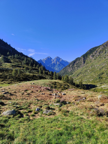
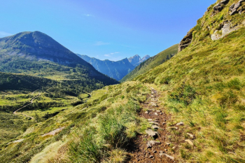
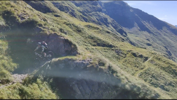
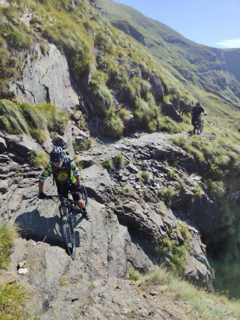
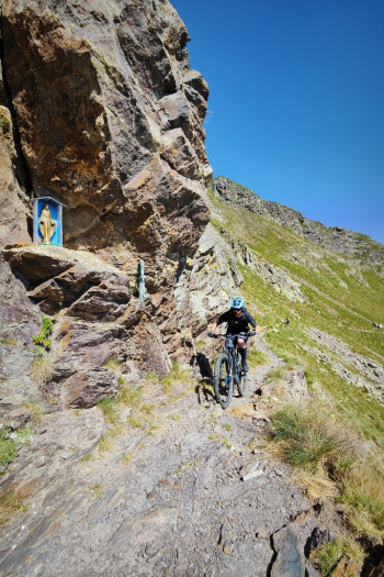
From the pass begins a descent on a path that is never too narrow and not too technical, but watch out for exposed spots.
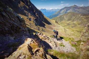
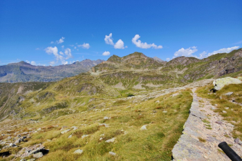
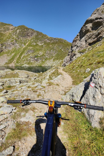
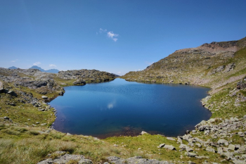
Small ascent to the Venerocolo pass, and 300-meter descent to the Campo hut (toward Lake Belviso).
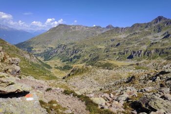
Unfortunately, the next 400 meters are a more mundane road and then become a paved carrale.
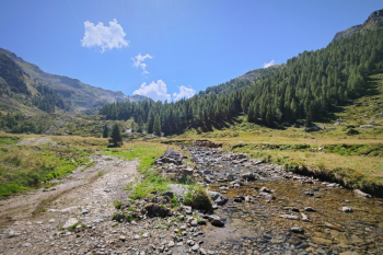
At an elevation of 1600 we prepare for the long ascent to Tagliaferri. You climb a 300-meter killer carrale of dirt and beaten stones well put but with 25% gradients. Doable by emtb but nice challenging. Upon reaching the Demigone hut at 1900 elevation the road flattens out and ends in front of the trail up to the hut. The climb is mostly rideable, and becomes challenging but fun with some technical passages and a few rocks to push over.
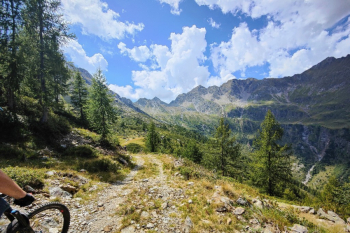
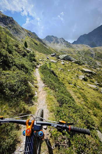
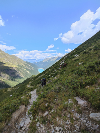
After a few final switchbacks with views of Belviso Lake, we finally reach Venano Pass and the Tagliaferri refuge.
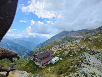
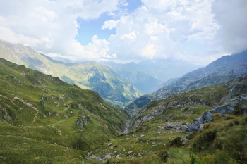
After a nice plate of pasta and the customary photos we get ready for the mythical descent. First 100 meters or so with not too exposed but a little tricky hand passages with chains. Finished the last headache begins the real descent all to enjoy in a mountain environment not very exposed with easy and not so easy passages, technical cuts, flow, rock garden and what have you, which gradually increases in smoothness to end with a final faster path with various rocks and roots. The trail closes at the starting point, tired but with a huge smile and a beautiful memory!
Water uphill from a small waterfall before Cat Pass, then to the Demigone hut and and the Tagliaferri hut.
Friends and I did the ride in about 9 hours, with 720Wh battery. Official recharge points are not present (you can ask permission at Vivione pass or at Belviso refuge losing another 300 meters, I don't know if they do recharge).
Demigone variant
With this variant you reduce the ride by 150m in elevation gain and avoid the intermediate bituminized descent. Recommended especially for mtb's to avoid the 300m of killer ramps, but forces you to descend from a scree, your choice. From the Venerocolo pass instead of descending you climb 150m to the Demigone, and descend to the related hut.
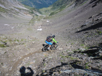
The Chamois Trail down to the Demignone hut has several sections on scree from a landslide.
Not all doable in the first part then as you descend it gets better.


 Italiano
 Deutsch
